You'll love Mie's mountains even more! “Kameyama 7-za Trail”! !
掲載日:2022.01.16
This time, we would like to introduce ASOBISIA, which has conquered the "Kameyama 7-za"! The 7 Kameyama Mountains are selected from the 7 mountains around 700 meters near Sekisuikei in the Suzuka Mountains. "Kameyama 7-za" has a collection of mountains with a different charm from the mountains of "Suzuka Seven Mountains". Now, read this article and go to Kameyama! ! !
◆Article creation: ASOBISIA #Mie Travel Camera Club
A trio of close friends who love the outdoors. Normally, he struggles as a Japanese office worker and faces the turbulent waves of society. In October 2020, he formed ASOBISIA after climbing a mountain one day, and opened Instagram and YouTube. On Instagram, his SUP photo in Miyagawa ranked first in the 2020 "Likes" ranking for Mie Tourism. This is a fledgling and active group.
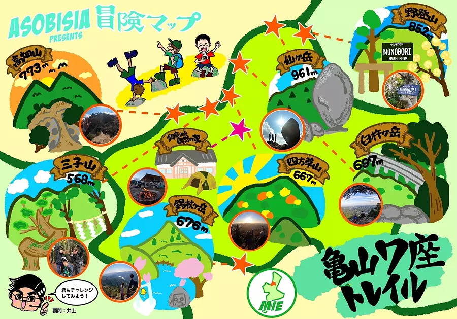
We propose an ASOBISIA-style way to enjoy Kameyama 7-za to the fullest ☆ Let's leave proof of our ascent using the adventure map!
You can add the date or make a collage of photos! Let's enjoy the sense of accomplishment together!
■Notes on mountain climbing
・When climbing, give yourself plenty of time and choose a mountain that suits your physical strength.
・From ASOBISIA's point of view, the difficulty level of the mountain is expressed as 5 stars. This is the difficulty level when compared among the 7 Kameyama za. Please use this as a reference.
・Check the climbing route and weather forecast (mountain temperature, etc.) in advance.
・Wear clothes that are easy to move in and can handle sudden changes in temperature.
Sengatake
■Climbing level: ★★★☆☆
■Altitude: 961m
■ASOBISIA's choice climbing course
Kosha Pass ~ Summit (west peak) → Sen-no-Ishi (east peak) ~ Sengei Ridge
■Access
The navigation is set to "Ogisu OgisuValley Campsite". If you go a little further from the navigation destination for about 10 minutes, you will find a parking space (about 7 to 8 cars).
■Characteristics of the mountain
This mountainis perfect for stepping up your mountain walking experience, as you can explore a variety of trails such as forest roads, valleys, rocky areas, and ridges.
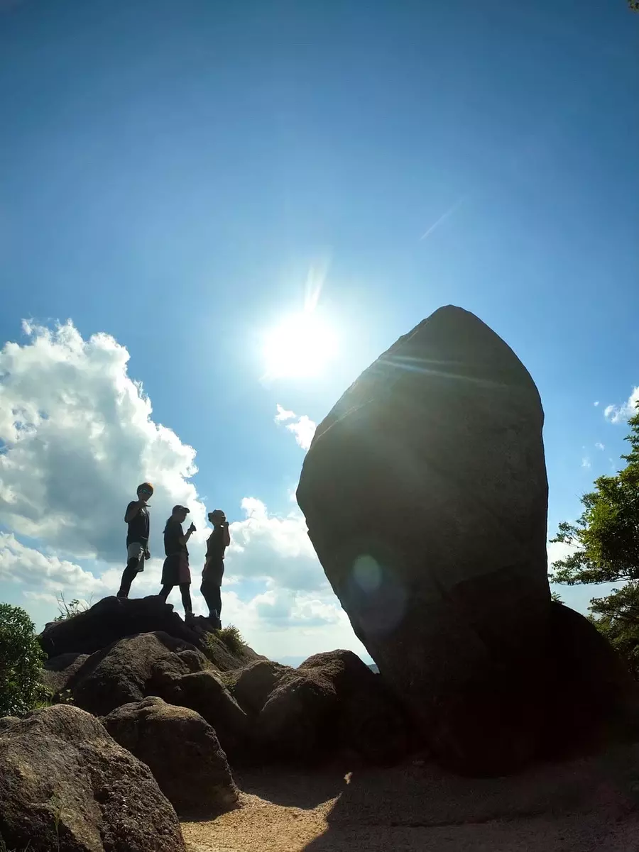
There are many viewing spots, and you can get a great view of Mt. Kamagatake from the summit (west peak). You will be enchanted by the overwhelming presence of the symbol “Sen no Ishi”!
#7 symbol
KameyamaCity 's image character, Bun-chan the turtle, was also surprised! When you stand next to them, you will be overwhelmed by their size! why? ! how? Did he tower over this place? The answer doesn't seem to be in Bun-chan's shell, which is filled with a lot of Kameyama's culture (lol)
Natural history is interesting!
I have also posted videos on YouTube, so please check it out⬇︎
https://youtu.be/GPaU9FBuYIk
Sengatake
059-371-0029
free
Approximately 60 minutes from Hiratamachi Station (Kintetsu Suzuka Line) by C-BUS (SuzukaCity Western Area Community Bus) Tsubaki/Hirata Line
Get off at OgisuValley and walk about 210 minutes to the summit.
Approximately 15 minutes from Suzuka IC on the Higashi-Meihan Expressway, park at OgisuValley Yamanoie Parking Lot (free of charge), and walk approximately 180 minutes to the summit.
*If you are coming by car, aim for Henshoji Temple at 1028 ogisucho SuzukaCity (set it on your car navigation system), and go about 1500 meters west of Henshoji Temple to find OgisuValley Yamanoie parking lot. .
*Includes a forest road to OgisuValley Yamanoie parking lot.
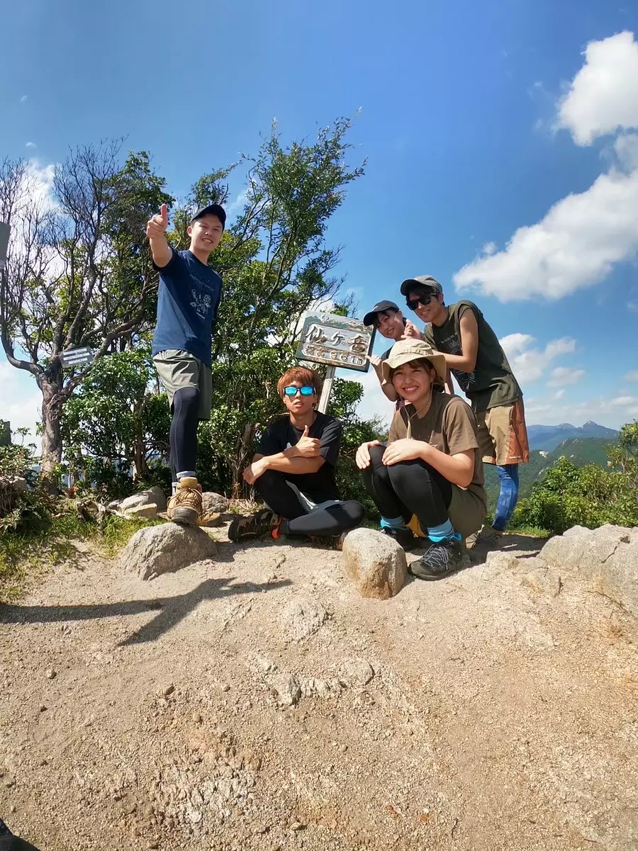
#Nice summit
This time, we took on the challenge with a party of five people, including two women from ASOBISIA and the ASOBISIA family, abbreviated as "ASOFAM"! The summit (west peak) has a great view, and when I climbed the mountain this time, I was able to clearly see Mt. Kamagatake and Mt.Gozaisho of the Suzuka Seven Mountains! *Right end of photo
There is also a space at the top, so everyone can eat together or take a short nap. The weather was on our side, so we were able to relax very much♪
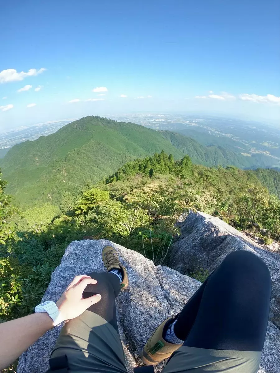
#Spectacular views captured with these feet
After stopping at Sen-no-Ishi, head towards Senkei-one. This spectacular view appears at the beginning of the descent! I could see the entire KameyamaCity, and it was a bit of a shame to start descending...it was a view that made me want to see more of it!
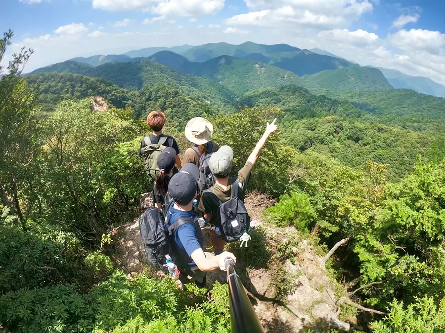
#Kameyama7zacontinues
As I mentioned at the beginning, there are many view spots where you can see the surrounding mountains! It's time to set sail towards the mountains that spread out endlessly like the sea!
A phrase here,
Mountain girl, there is a mountain that makes me want to climb
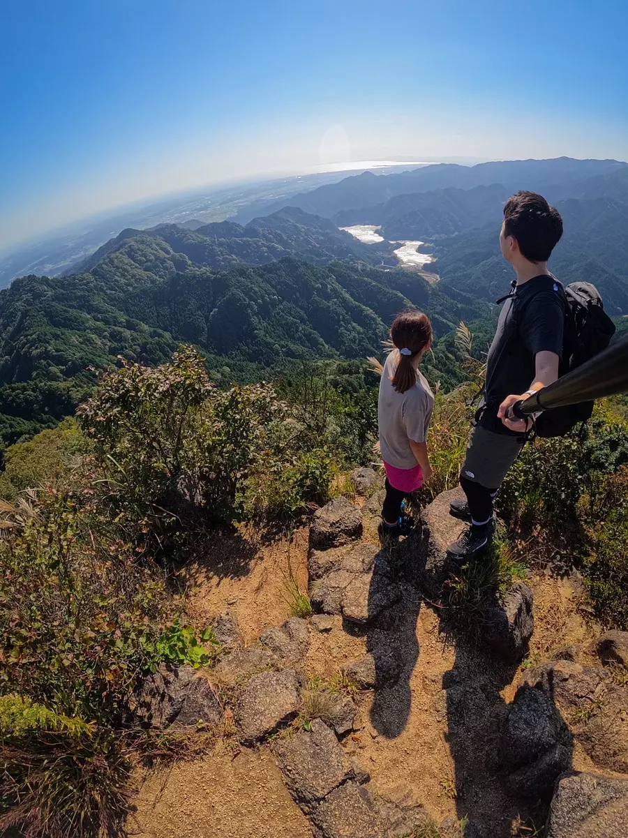
Mt. Shakujogatake
■Climbing level: ★★☆☆☆
■Altitude: 676m
■ASOBISIA's choice climbing course
kabuto trailhead
■Access
If you search for kabuto trailhead on Google Maps, you will find it. You will arrive at a plaza where approximately 10 cars can be parked. There are no restrooms at Mt. Shikujogatake, sobe sure to use them before heading to kabuto trailhead.
■Characteristics of the mountain
Mt. Shikujogatake stands on the border between kabuto, Kameyama KameyamaCity, and geinocho TsuCity. It is a mountain with a beautiful view from the top.It takes about an hour and a half to reach the summit, and the path is well maintained, so it's a mountain recommended even for women, beginner climbers, and those who aren't confident in their physical strength! There are also some parts of the mountain that you can climb using chains, making it an athletic mountain.I have also posted videos on YouTube, so please check it out⬇︎
# Lake Shikujo
This is the view from the top of Mt. Shikujogatake. The water hole you can see is a lake called "Lake Shikujo." This lake is a highlight! (lol) Speaking of a mountain where you can see a lake from the top, I think it's Mt. Shujogatake in Mie Prefecture.
Shikujogatake
0595-84-5074
20台
30 minutes walk from JR kabuto Station to the trailhead
10 minutes by car from Mukai IC on the Meihan National Highway
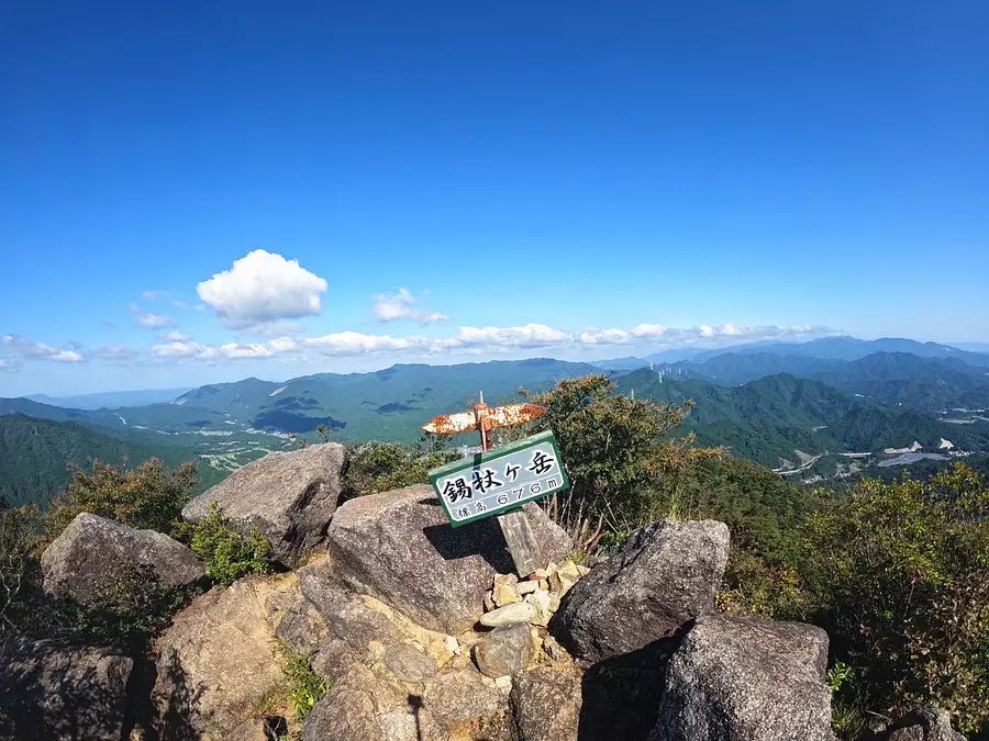
#View from the summit of Mt. Mt.
The summit offers a 360 degree panorama. You can see the factory area and townscape of KameyamaCity, as well as the windmills of AoyamaPlateau in TsuCity and IgaCity. In terms of ASOBISIA, it is the mountain with the best view from the top of Kameyama's 7 mountain peaks!
There is space at the top of the mountain for about 10 people to stay. There is also a bench a little further down from the summit, so if the summit is full, you can go down a little and take a break!
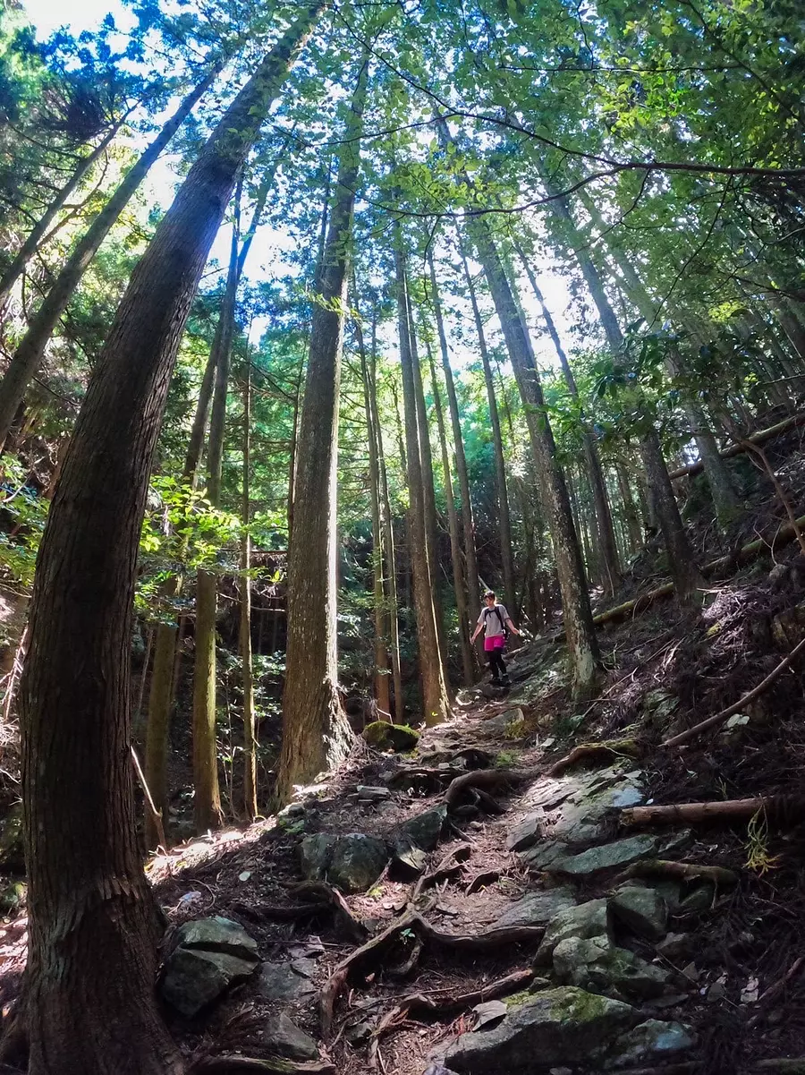
#Today's mood is forest bathing
The first half of the route from kabuto trailhead goes through a beautiful forest. There are rivers and bridges along the way, so you'll never get tired of walking. You'll be walking through the forest, but the path is well-maintained so you won't get lost! I can only thank the people who are maintaining it.
YOYO! What a beautiful forest. Everyone come to this mountain in difficult times!
#Fedding rapper Kujiro
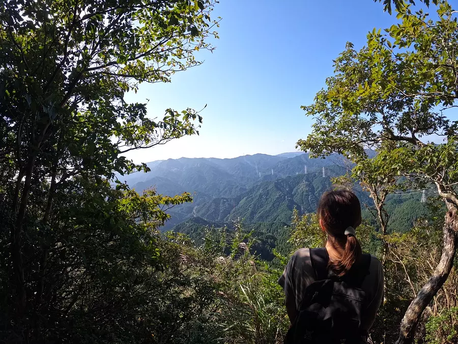
#View from halfway up
The first half will be walking through the forest, but along the way there will be several spots where you can view the nearby mountains!I was also able to see a beautiful view of TsuCity 's popular mountain, Kyogamine!
A phrase here,
When in doubt, start at the 7th seat with a shakujo
Usukigatake
■Climbing level: ★☆☆☆☆
■Altitude: 697m
■ASOBISIA's choice climbing course
Anraku Pass - Kamoshika Plateau - Usukigatake (about 1 and a half hours to the summit)
Anraku Pass - Kamoshika Plateau - Usukigatake (about 1 and a half hours to the summit)
■Access
Search for "Anraku Pass" on Google Maps. The road to Anraku Pass is quite narrow, so please be careful when driving.Parking spaces are limited to 2-3 cars.
■Characteristics of the mountain
It is a mountain that you can easily enjoy climbing as you can reach the top in a relatively short time and the mountain path is very easy to walk.
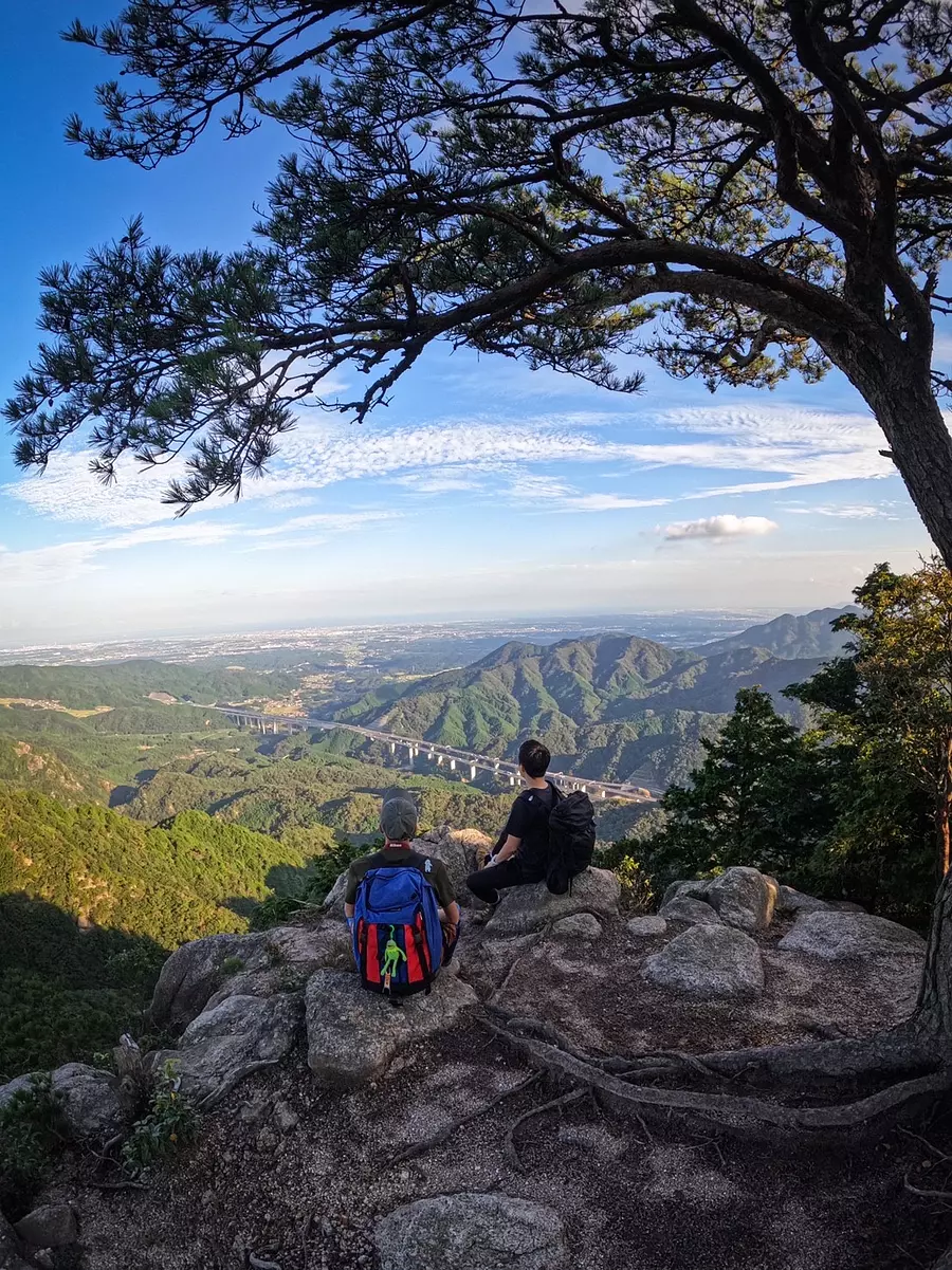
#Looking down on the town of Kameyama from the observation rock.
If you go down several tens of meters from the signboard for the summit of Mt. Usukigatake, you will arrive at this observation rock. This is the spectacular view point of Mt. Usukigatake! ! You could see the Shin-Meishin Expressway and the town of Kameyama, and it was so beautiful that it became ASOBISIA's favorite spot ^^
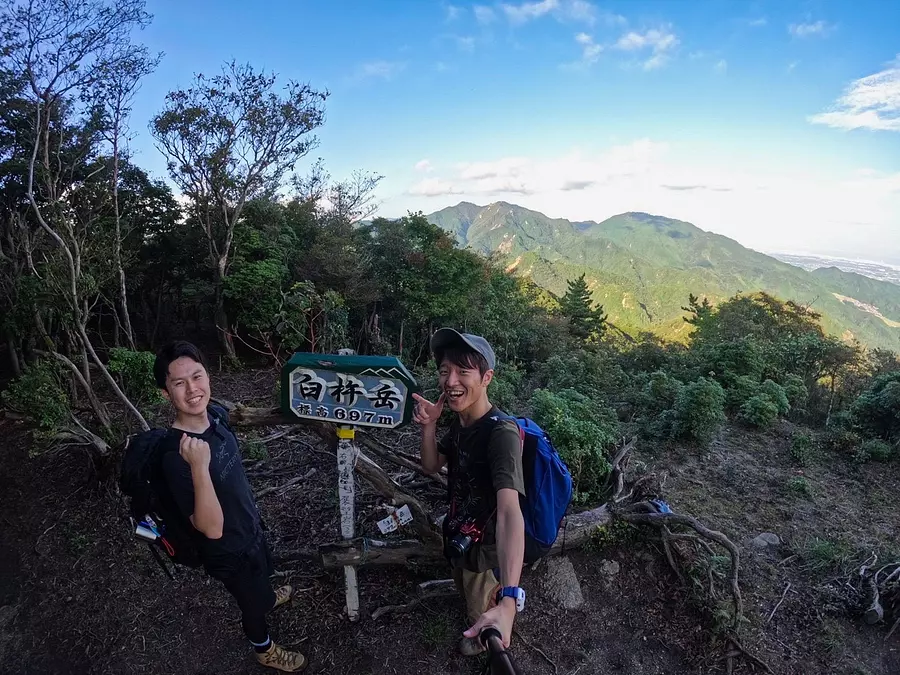
#With Mt. Sengatake and field climbing in the background
On this day, we started climbing in the afternoon! I remember feeling heavy because I climbed the mountain after eating lunch (lol)
It took about an hour and a half from the trailhead to reach this signboard at the top. It is a low mountain that is recommended for beginners and those who want to get some exercise as it is a quick climb. However, don't forget to prepare well for the "climbing". Sho!
From the top, you can see Mt. Sengatake, which has been selected as one of the 7 Kameyama spots along with Mt. Usukigatake, and the field climbing!
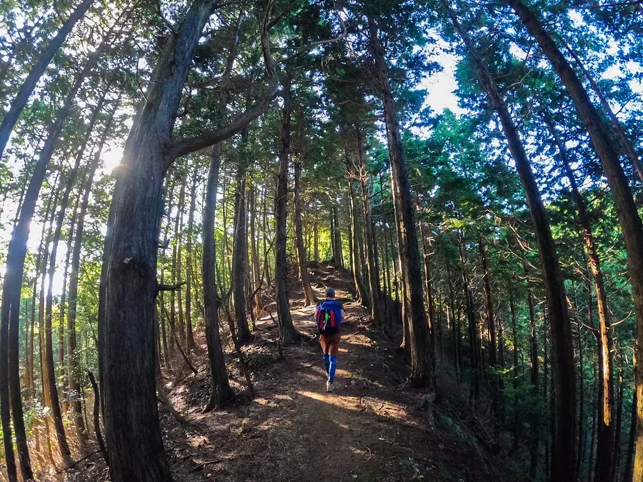
#Walking along a forest road with sunlight filtering through the trees
The mountain trail follows a forest road like this one. It's a nice forest road with beautiful sunlight filtering through the trees, making it feel like forest fairies are playing around. The path is easy to follow, as if a forest fairy is telling you to follow this path, so you will hardly ever get lost.
If you take a photo so that the mountain trail is on the center line of the angle of view, you can take a photo that feels like walking confidently down a straight road like this, so please be sure to show off the cool things about your mountain climbing friends ^^
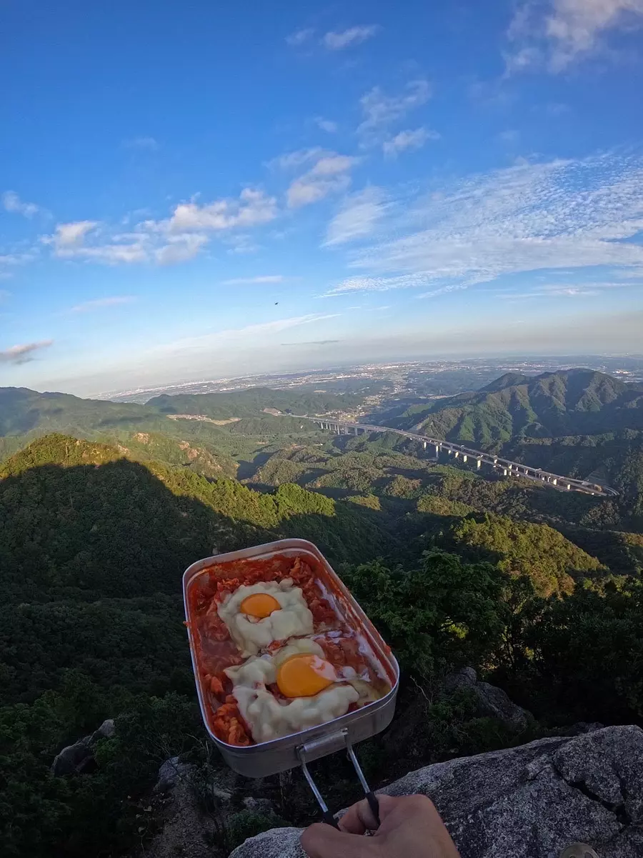
#Try macaroni pasta in Mestin!
We made and ate a light meal at the observation rock. This time, I made macaroni pasta with tomato sauce using Mestin! The cheese melted well, but I wish the eggs were a little firmer •••(゚∀゚;) The meal in the mountains was very delicious!
At this time, I had ASOBISIA's first Instagram live, and I remember cooking and sharing the scenery while talking with the listeners in the comments!
A phrase here,
Cooking on a viewing platform in Usuki
Takahatayama
■Climbing level: ★★☆☆☆
■Altitude: 773m
■ASOBISIA's choice climbing course
Suzuka Pass ~ (about 1 and a half hours to the summit)
Suzuka Pass ~ (about 1 and a half hours to the summit)
■Access
The landmark is a huge 5.5m tall lantern called Manninkojoyato. If you search on Google Maps, you will find it. Parking is available for approximately 10 cars. There are also clean toilets.
■Characteristics of the mountain
Mount Takahata stands on the border between KameyamaCity City, Mie Prefecture and Koka City, Shiga Prefecture. It is a mountain with many attractions such as ``Kagami-iwa'' and ``Knife Edge.'' The summitoffers a 360 degree panoramic view, offering spectacular views.
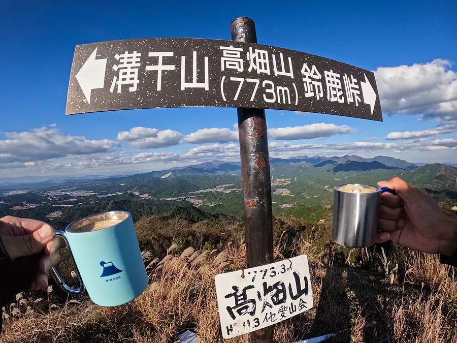
#Cheers at the top
I drank coffee to reward myself for reaching the top!Coffee you drink in the mountains tastes better than drinking it at home or at a cafe. Moreover, it looks better in a photo holding a cup of coffee than a regular piece! (lol)
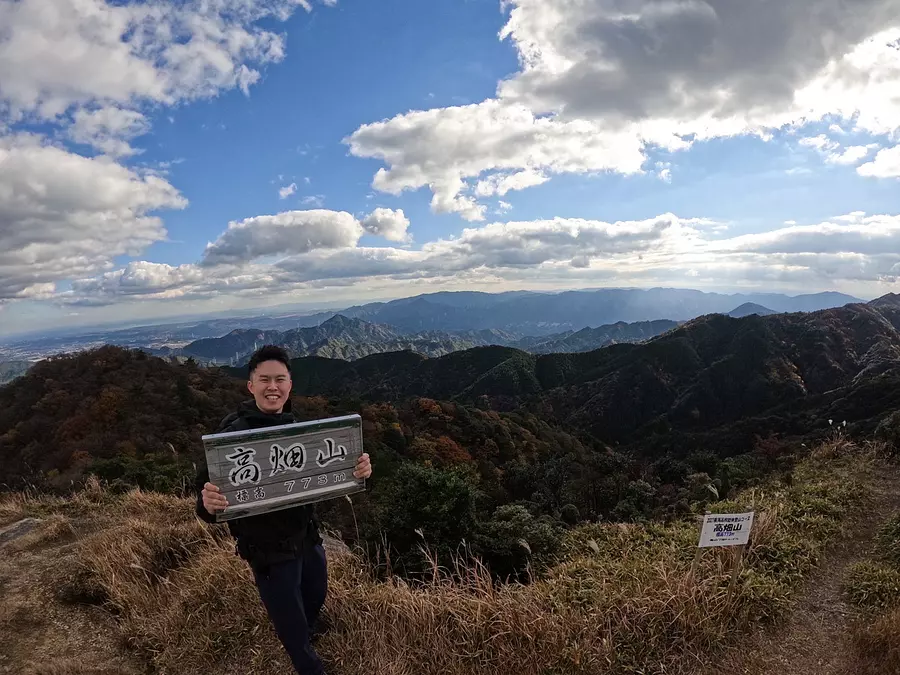
#View from the summit of Mt. Takahata
At the top of the mountain, grab a sign that says "Mt. Takahata"! ! !
The mountaintop has a 360 degree panorama and the scenery is very beautiful! If the weather is nice, you can also see Lake Biwa and Ise Bay! The summit is large enough for 10 to 20 people to take a break. There wasn't much open space from the trailhead to the top of the mountain, so I recommend eating lunch at the top of the mountain while looking at the scenery!
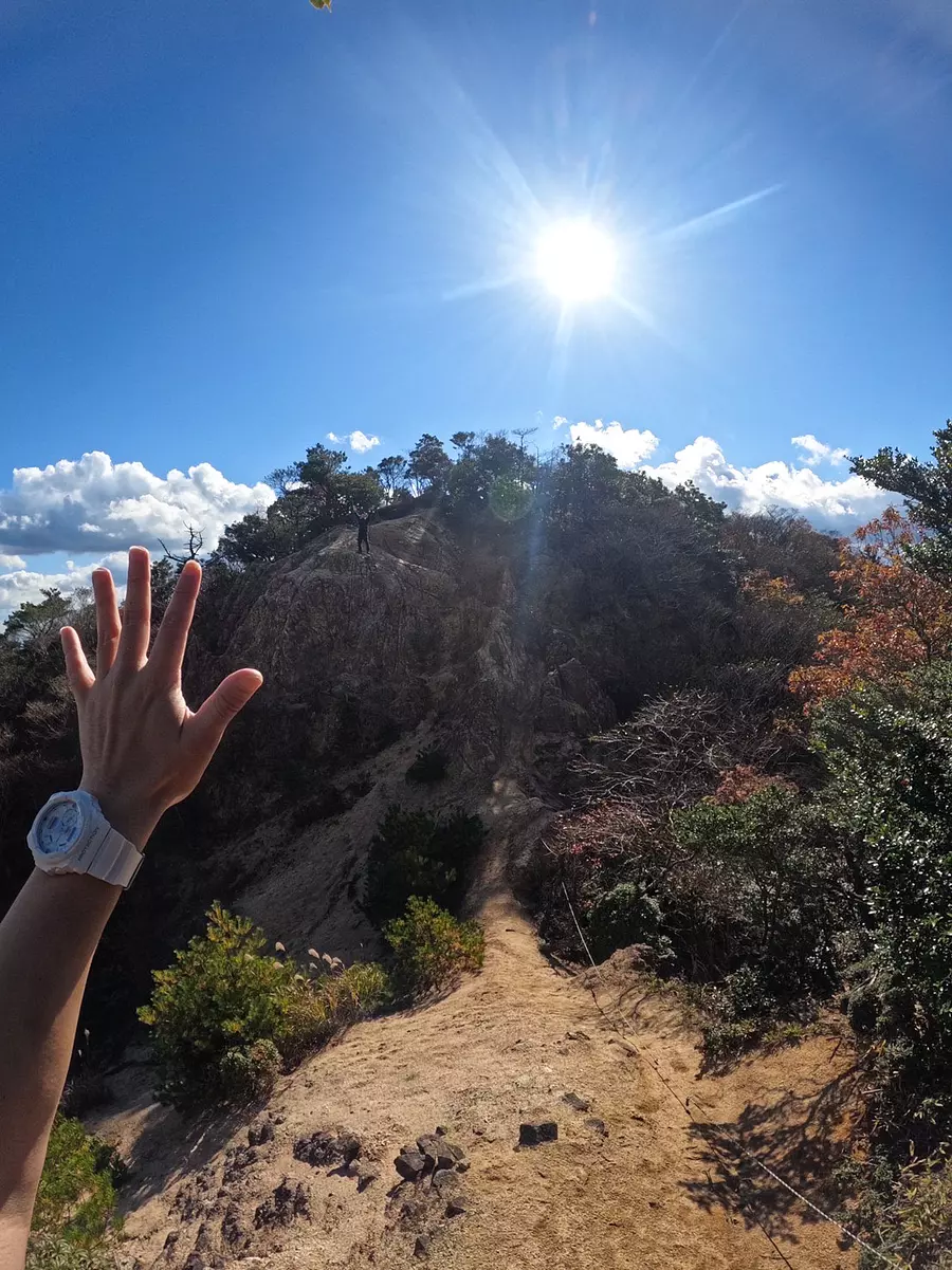
#knife edge
A knife edge is a sharp ridge that resembles the edge of a knife. This is a spectacular point that is rarely seen in the surrounding mountains! While it is a great spot to take good photos, it is also a dangerous spot where you could fall if you make a mistake. Be calm and cross slowly so you don't slip.
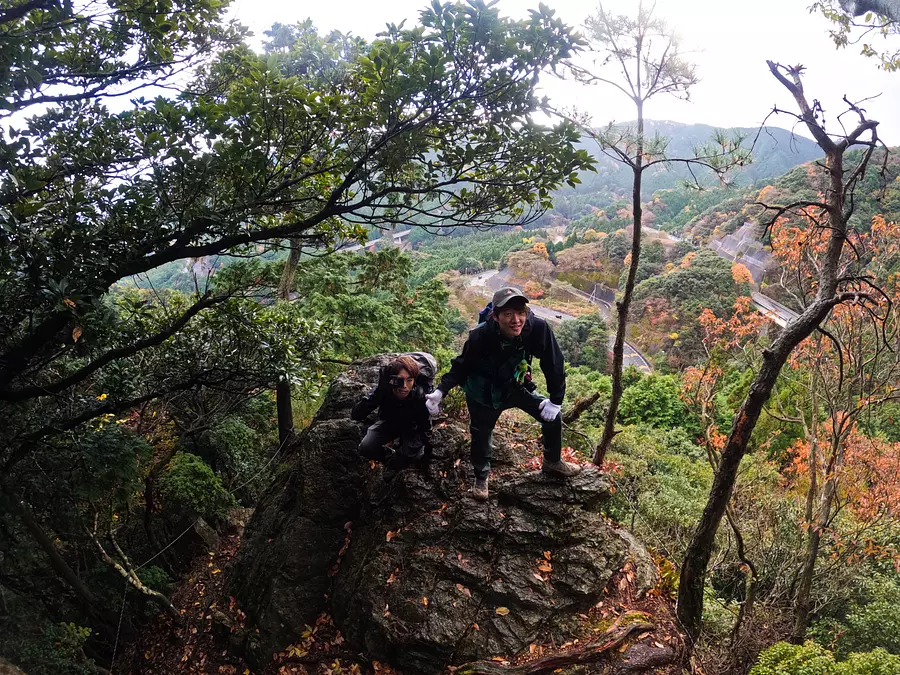
#Kagamiiwa
Kagami-iwa is a huge rock located at the top of Suzuka Pass, which you pass through when heading to the summit of Mt. Takahata. Surprisingly, it takes about 5 minutes to walk from the trailhead (lol). It is also known as the ``devil's full-length mirror'' because of the legend that bandits polished this rock and attacked travelers who saw their reflections there. Although the mirror-like shine has been lost, the view from Kagami-iwa is beautiful, so it is a recommended spot!
YOYO! Come, Kagami Rock. It's more ephemeral than I thought, but this view is a treasure.
#Fedding rapper Kujiro
One more word here,
It's the echo of the coffee served on the mountaintop.
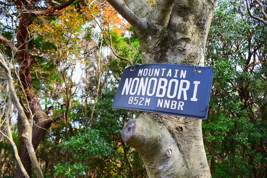
Field mountain climbing
■Climbing level: ★★★☆☆
■Altitude: 852m
■ ASOBISIA's Choice Climbing CourseIchinotani Course starts from OgisuValley Campsite (about 2 and a half hours from the trailhead to the summit)
■Access
Search for "OgisuValley Campsite" on Google Maps. The road to the campsite is very narrow. Please be careful when driving.
■Characteristics of the mountain
It is a mountain where you can feel the seasons and history, with a colony of Mitsumata and Yatoji Temple. The summit is surrounded by trees and you cannot see the view, but there is a grassy open space near the summit called "Kunimi Hiroba" where you can see Mt. Kamagatake and Mt.Gozaisho.
#MOUNTAIN NONOBORI 852M NNBR
This is the signboard at the triangulation point at the top of the mountain climbing mountain! Among the 7 Kameyama mountains, this is the only one with such a stylish signboard! (LOL) The trig point is surrounded by trees, so you can't see the view, but thanks to this sign, I was able to enjoy a sense of accomplishment (LOL) The person who installed this sign had a lot of sense ^ ^ Many people are uploading this signboard on Instagram. Please take a photo to commemorate your summit!
Field mountain climbing
059-382-9020
From Kintetsu Hiratamachi Station, take the C-BUS (SuzukaCity Western Community Bus) and get off at OgisuValley on the Tsubaki/Hirata Line.
Get off at Suzuka IC on the Higashi-Meihan Expressway.
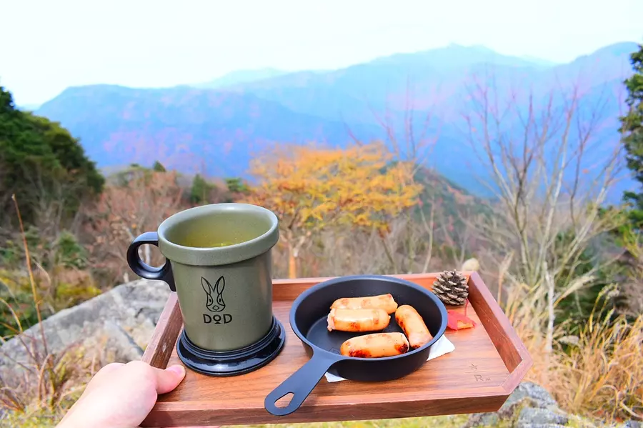
#Enjoy autumn while watching the changing colors of the Suzuka Mountains
In a corner of Kunimi Hiroba near the top of the mountain, there was a special seat where you could see Mt. Kamagatake and Mt.Gozaisho of the Suzuka Seven Mountains! I went during the autumn leaves season, so the pampas grass and colorful trees were very beautiful, making it the perfect spot for lunch!
Grill some sausages, make instant pumpkin soup, and take a breather. I was able to enjoy my meal while feeling even more autumnal with the addition of maple leaves and pine cones that had fallen along the way! Just by adding a few accessories, you can add a sense of the season to your photos and make them look great all at once, so please give it a try ^^
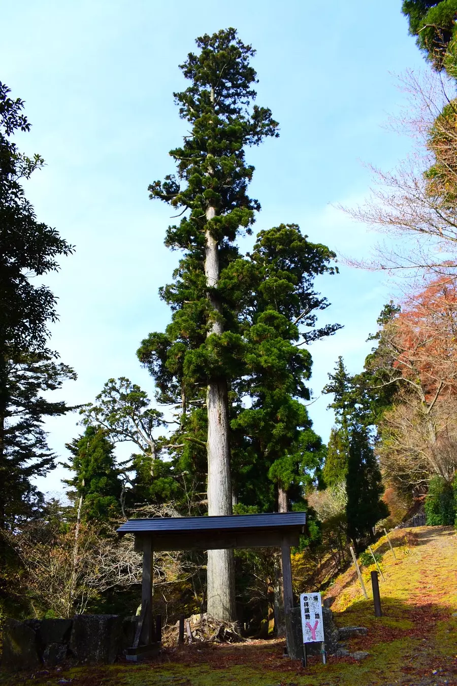
#Splendid cedar. too cool.
There is a Buddhist temple of the Omuro sect of the Shingon sect called "Yatoji" in the field climbing.The main hall, kuri, and bell tower are designated cultural properties of KameyamaCity, so be sure to check them out when you visit the field climbing. This is a spot you should stop by!
There are several magnificent cedar trees growing near the torii gate at the entrance of the temple, and I think this is truly a power spot! ! I felt a lot of power. The cedar tree was so large that it was difficult to fit it all into the field of view (lol)
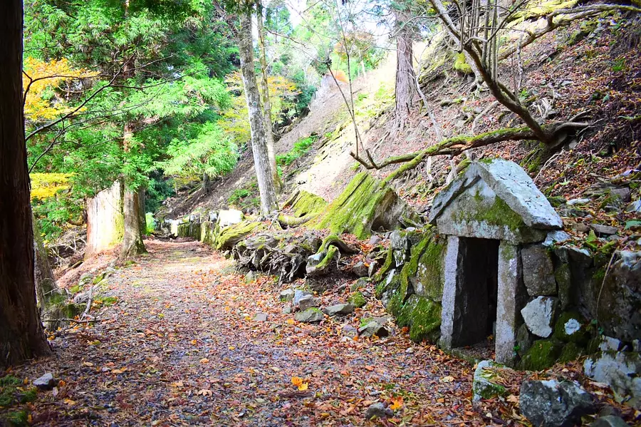
#Ishibashi Jizo (Children's Jizo)
As you pass through the torii gate and head to Notoji Temple, there are shrines like the one in the photo lined up along the road, and each shrine has one Jizo statue. There was a very sacred atmosphere! There is a clear spring within the grounds of Notoji Temple, and there are four stone bridges made of natural stones, each with a Jizo statue carved into it. It is said that these Jizo statues are filled with the earnest wish that children who died young will be reborn as healthy children in the next generation.
Kameyama 7za is proud of its field climbing where you can not only climb mountains but also visit temples ^^
A phrase here,
Mountain climbing and childbirth prayers at Noto
Mitsugoyama
■Climbing level:★☆☆☆☆
■Altitude: 568m
■ASOBISIA's choice climbing course
Along National Route 1, the trailhead near Iwaya Eleven-faced Kanzeon Bodhisattva ~ South peak → Middle peak → North peak
■Access
There is a small parking lot at Manninko Joyato near the entrance of National Route 1 Suzuka Tunnel (Shiga Prefecture side) *When climbing ASOBISIA and participating in the event, there is a parking lot at ``Suzuka Pass Nature House''. Use the parking lot
■Characteristics of the mountain
As the name suggests, it is made up of three mountains: Kitamine (1st peak), Nakamine (2nd peak), and Minamimine (3rd peak), just like the model of the kanji for "yama"!
The elevations are in the order of south peak, middle peak, and north peak, with the northern peak being the highest at 568 meters. When moving from peak to peak, you have to go down as much as you go up, so there are quite a few ups and downs. But! Even though they are low mountains, climbing three mountains in one day will give you confidence in yourself, and I think it will be an experience you can brag about to others!
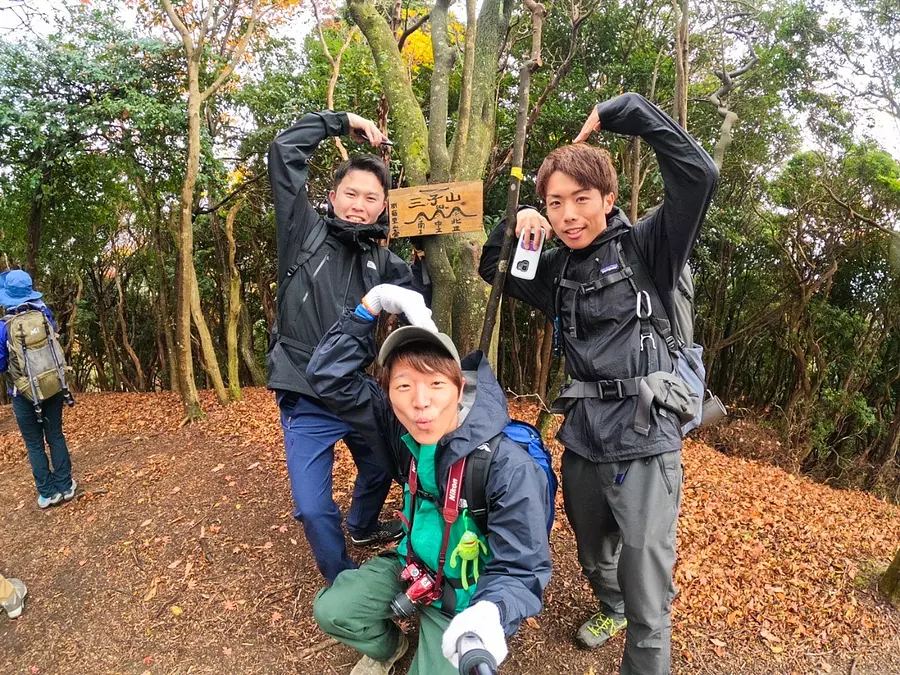
#Three people get along well
Coincidentally, ASOBISIA is also a trio!Although it was selfish, I felt a sense of intimacy, and the three of us did the Sankoyama pose♪
(It's not a monkey, it's a mountain! lol)
#By chance
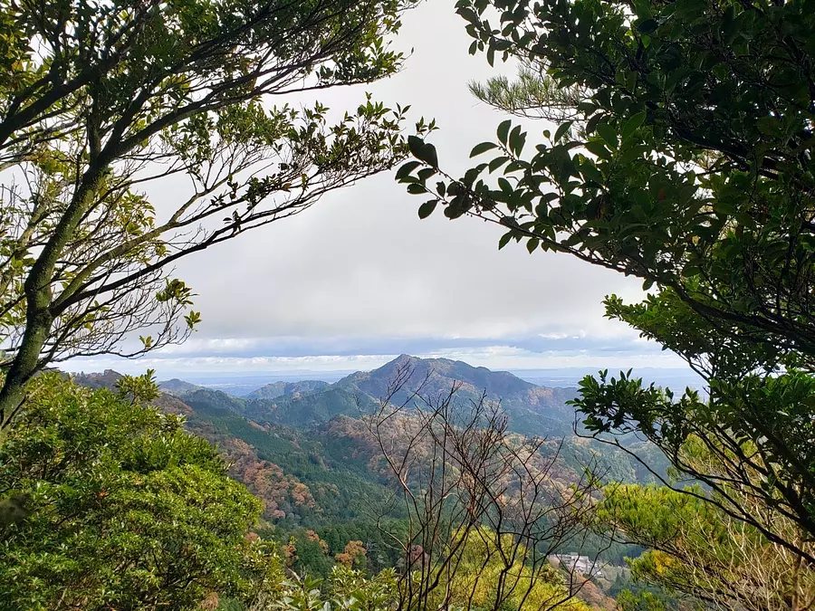
The view from the mountainis not very clear all the way to the top of the north peak, and we walk silently along the mountain trail surrounded by trees. That's not to say there aren't any viewing spots! There were several spots where you could take spectacular photos depending on how you took the photo, such as using the lush trees as a picture frame! (Of course, it was a spectacular view even with my own eyes ♪) This is the ASOBISIA photography technique!
Please be careful about your step and keep your eyes on various places as you climb.
#Swirl tree
This time, ASOBISIA participated in an event hosted by KameyamaCity, and together with the guide and other participants, we climbed the southern peak, then the middle peak, and then the northern peak.
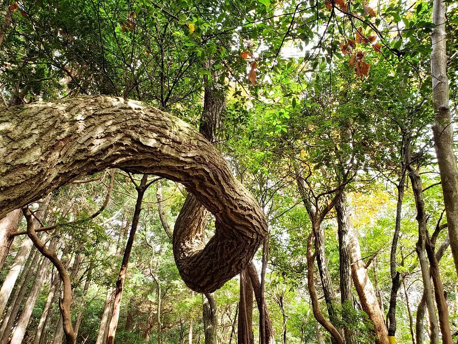
There, I found a tree with a strange shape! ! The whirlpool tree (named after me lol) was located between the start of the climb and the top of the first south peak! It seems like there was a time when he was a bit twisted, but he recovered well and was standing strong! It was a rebellious tree (lol)
#Mountain where God sleeps
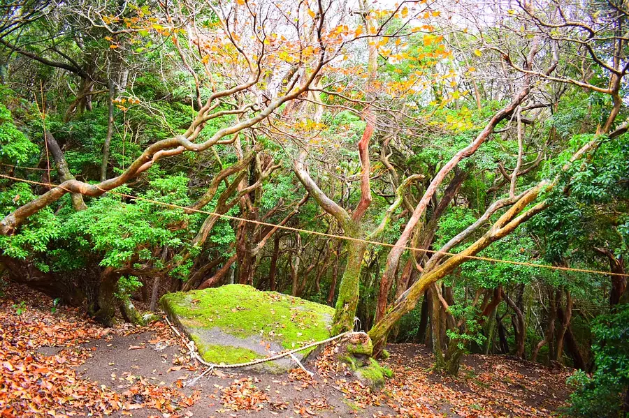
Although it is unknown what kind of god he was, there was a sacred place on Mt. Sanko where a god was likely to be.
(Near the top of the south peak)
Thinking about what kind of legends and stories there are may be one way to enjoy climbing Mt. Mt. Mt.
A phrase here,
ASOBISIA Three people together Sankoyama
Shiosoyama
■Climbing level:★★★★☆
■Elevation: 667.4m
■ASOBISIA's choice climbing course
From the trailhead right next to Kaosu, a special nursing home for the elderly, go to the summit of Mt. Shipogusa and descend via Mt. Sanko (north peak → middle peak → south peak).
■Access
There is a small parking lot at Manninko Joyato near the entrance of National Route 1 Suzuka Tunnel (Shiga Prefecture side) *When climbing ASOBISIA and participating in the event, there is a parking lot at Suzuka Pass Nature House. use
■Characteristics of the mountain
Although it is not a mountain with any major features, there are some points with wide open views as shown in the photo, so it was a mountain worth climbing!
Since the mountain trail was a little difficult to understand and there were some small climbers, I gave the climbing level a 4 ★, the highest of Kameyama's 7 spots. Please research the course thoroughly and have fun climbing!
#Shining Kameyama
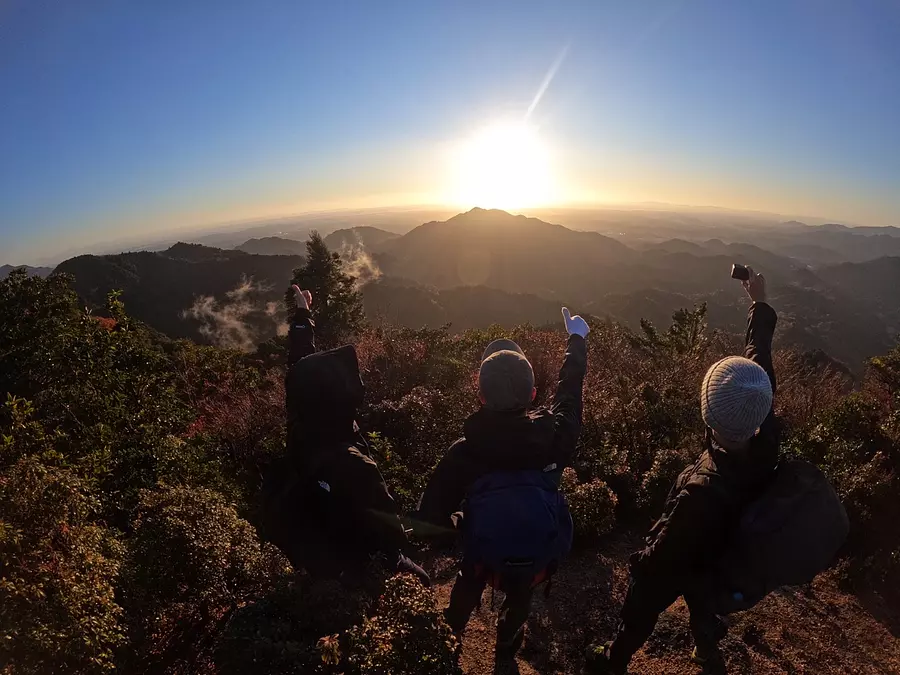
We started climbing ASOBISIA in time for sunrise, and we were blessed with good weather and were able to see the best scenery! Mt. Myojogatake in front of me was so beautiful that I couldn't stop staring at it (lol).
I was captivated by the warm morning sun, which seemed to herald the start of a good day, and at the same time, congratulate me on winning the Kameyama 7-za.
Waking up early is definitely worth more than three pennies! lol
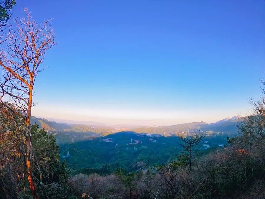
#Mountains waiting for the sun
This is the view from the back of ASOBISIA, which was bathed in the morning sun. The view on this side was also amazing, and since it was a little higher than the surrounding mountains, you could see far into the distance, making it feel like you were climbing a really high mountain (lol)
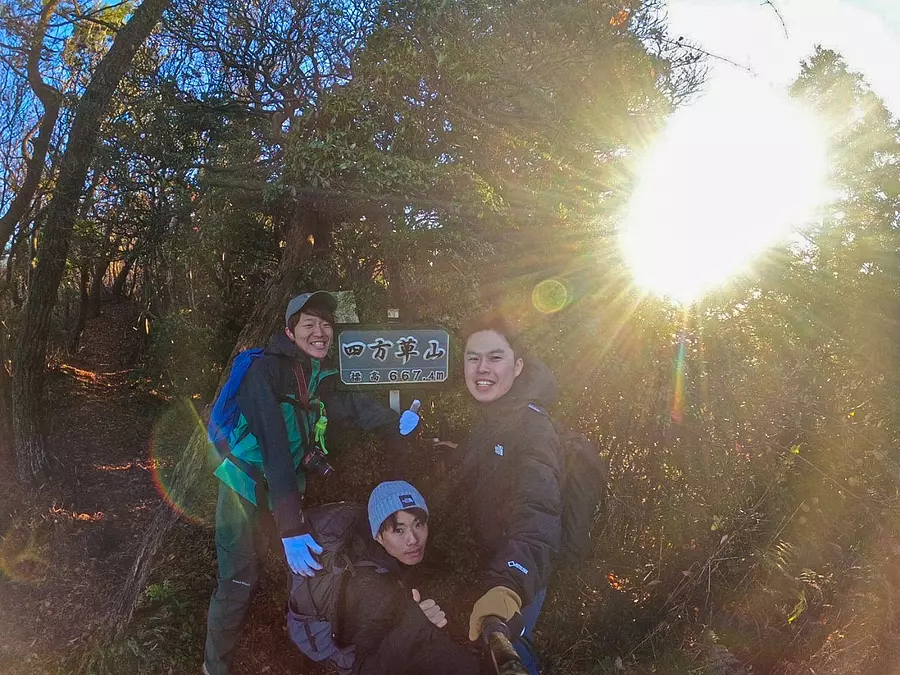
#Congratulations! 7 seats won!
ASOBISIA's Kameyama 7-za trail challenge ended at Mt. Shimogusa!
Although all of the mountains are lower than the Suzuka Seven Mountains that I previously wrote about, there are just as many places to see and they were all very fun to climb!
There are many roads that require a bit of caution, but if awareness increases and more people come to visit, I think the mountain trails will become easier to understand and more people will experience the charm of Kameyama 7-za. I would like to support this “Kameyama 7za” with all my might!
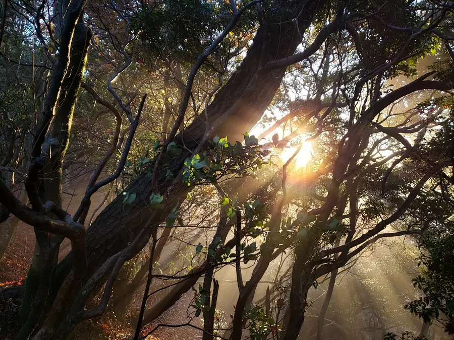
#Asahi curtain (bonus)
Amidst the light morning mist, the red light of the morning sun shining through the trees was truly divine, and I was very satisfied with the scenery that lightened my mind and body♪
A phrase here,
Morning in the south of Shihogusa KameyamaCity
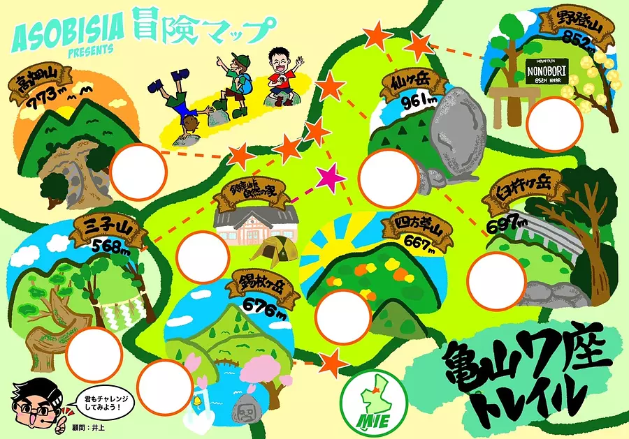
#Download the MAP now! !
How to save: Long press on image → Save image
If you have obtained this adventure map, you are now a worthy adventurer! A wonderful story that only you can experience is waiting for you. . . ! Would you like to try climbing the Kameyama 7-za trail in Mie with the three of us? We will support your every step!
A special site for the Kameyama 7-za Trail has been launched within "Kanko Mie".
https://www.kankomie.or.jp/special/kameyama_7mts/
KameyamaCity 's official homepage has a page for Kameyama 7-za. (Insert from the link below)
・About the Kameyama 7Mts. trail initiative
https://www.city.kameyama.mie.jp/docs/2019012100040/
・Latest information on Kameyama 7Mts. trail
https://www.city.kameyama.mie.jp/docs/2020051900010/
Check the necessary information before climbing and be sure to climb safely!
If you like mountain climbing, please check out the article on "Suzuka Seven Mountains"!
https://www.kankomie.or.jp/report/786.html
◆◆◆◆◆◆◆◆◆◆◆◆◆◆◆
↓Follow Us! Please subscribe to our channel ☆
■Instagram: @ASOBISIA
Link ⇒ https://instagram.com/asobisia?r=nametag
■YouTube: ASOBISIA Channel
Link ⇒ www.youtube.com/channel/UCKrgfv5STSHezyOWmVwiUOQ
■TikTok: @asobisia
Link ⇒ https://www.tiktok.com/@asobisia
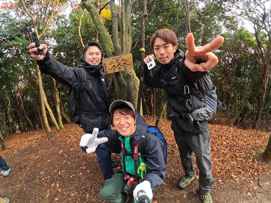
This time, I participated in the "Kameyama 7-za Trail" & "Camp" event hosted by KameyamaCity! KameyamaCity regularly holds various events! Please see the homepage below for more details!
First, please take a look at the ``Kameyama 7-za Trail.''
For this event, we went to Mt. Sanko!
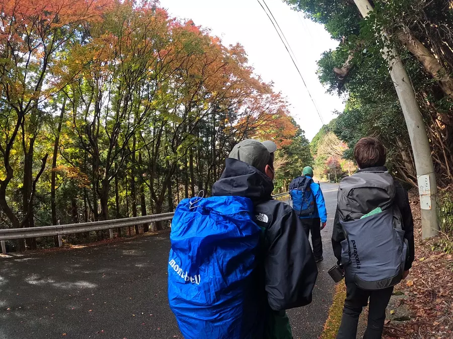
After gathering at the designated time, we will all start climbing!
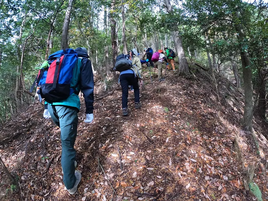
It's fun to climb with a group!
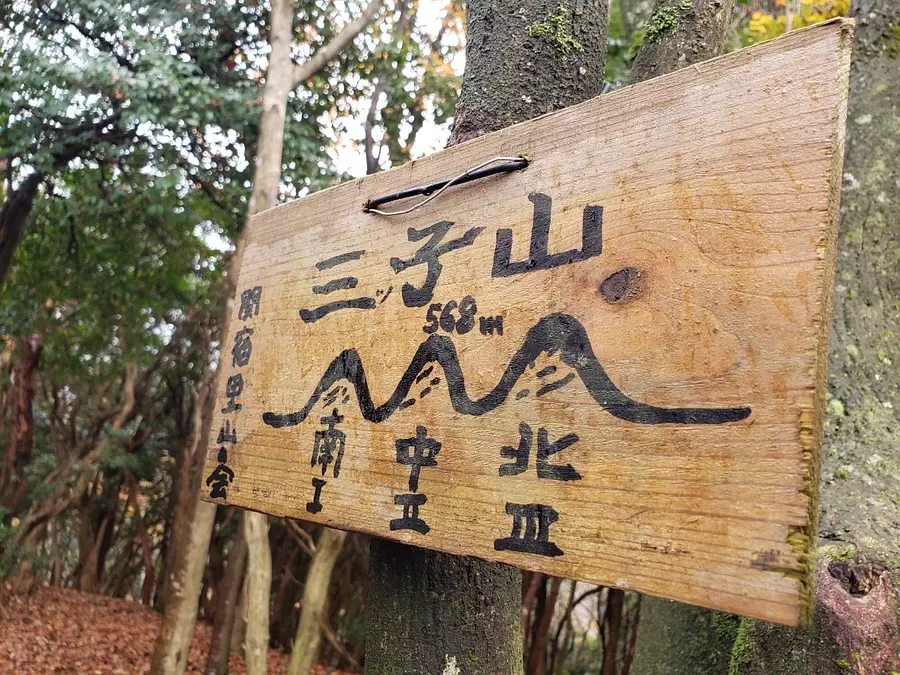
Arrived at the south peak of Mt. Sanko!
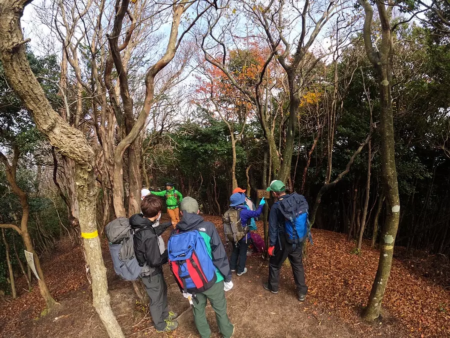
You can also take regular breaks!
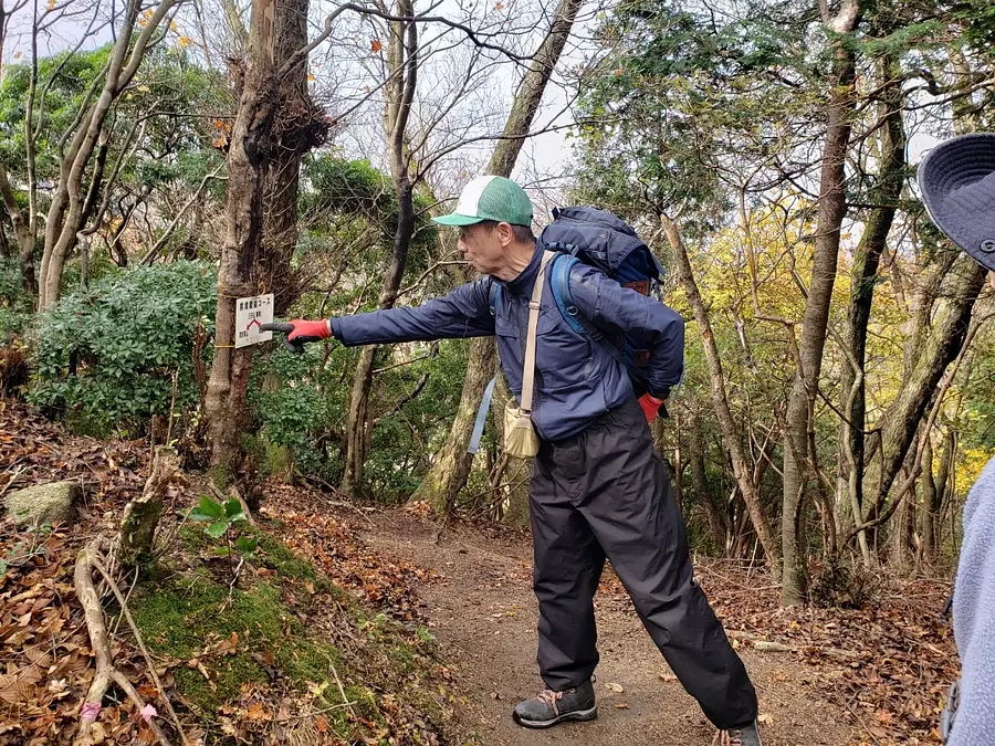
When you climb a mountain, you will be accompanied by someone from the Mountaineering Association who has a wealth of mountain knowledge, so you will feel more secure than if you were to go climbing on your own. If you don't have much mountain climbing experience,it might be a good idea to get used to climbing at the Kameyama 7-za Trail event!
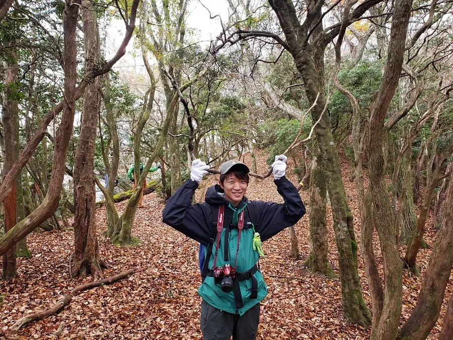
Tony Tony Yuma
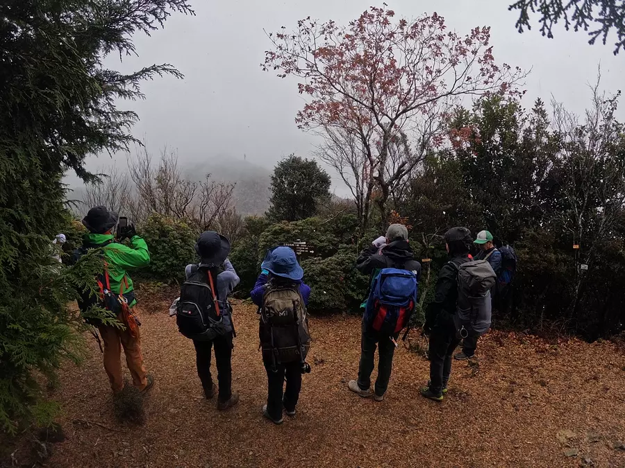
As soon as we arrived at the north peak of Mt. Sanko, it started snowing! (lol)
The weather in the mountains can change easily, so it's a good idea to keep a raincoat in your backpack.
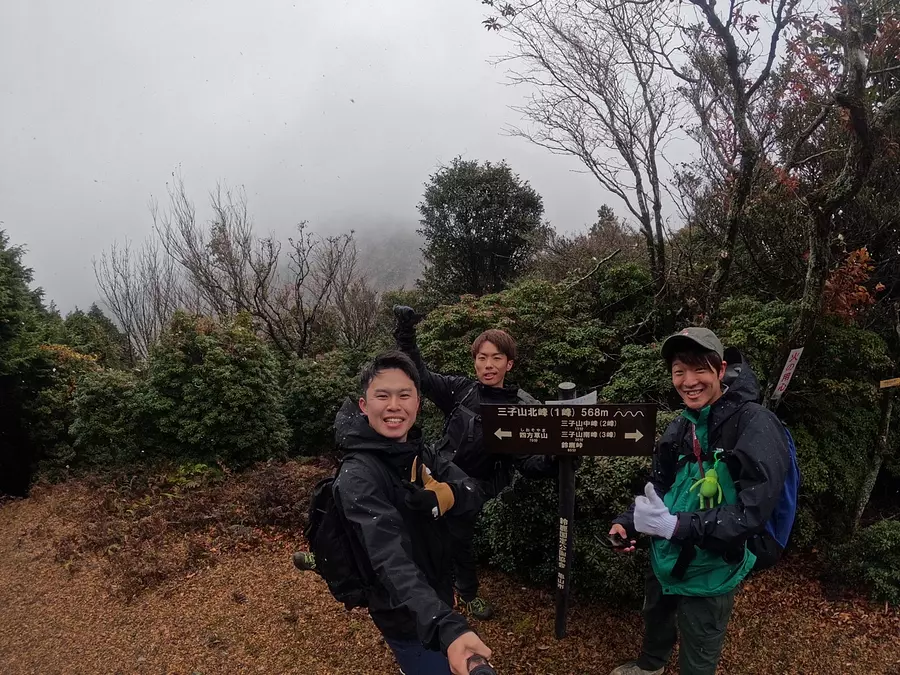
Commemorative photo taken at the north peak of Mt. Sanko!
If the weather was good, you could even see Mt. Shimogusa in the background. . .
disappointing! ! !
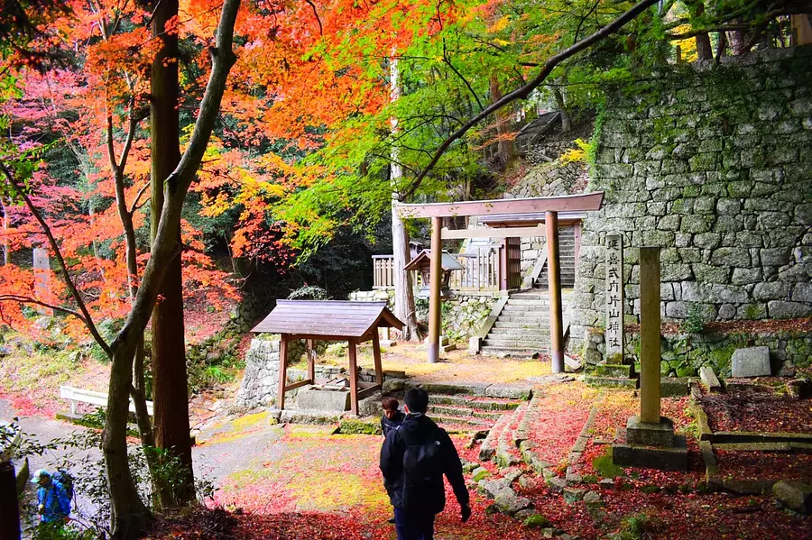
While descending from Suzuka Pass, I stopped by yagami. The autumn leaves were so beautiful! It's also nice to be able to visit the shrine while climbing.
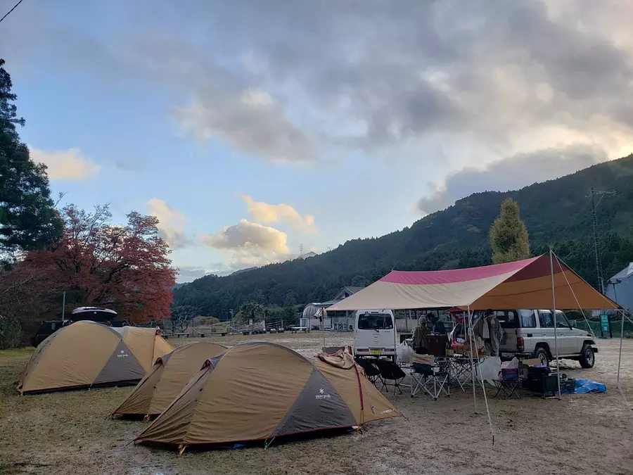
After climbing, we will camp at “Suzuka Pass Nature House”!
This is the first time for a camping event! ! !
We will all set up tents on the ground.
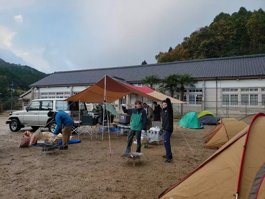
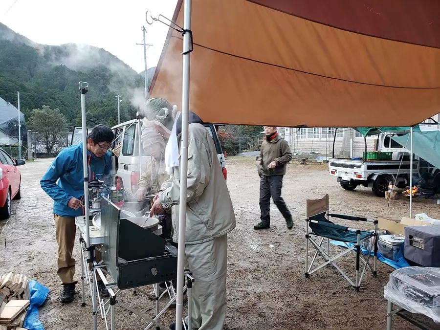
The curry is slowly simmering.
When you think of camping, you think of curry! Perfect for fall and winter camping!
Eating curry warmed up my cold body!
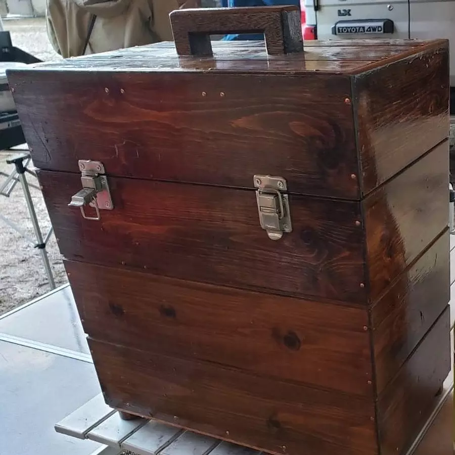
This is a handmade lantern holder by the event organizer. His sense and technique are incredible! (lol)
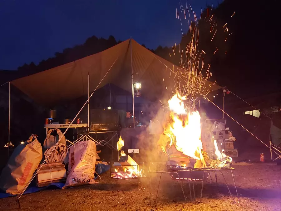
A bonfire is essential for camping in the fall and winter. It will warm your body and soul.
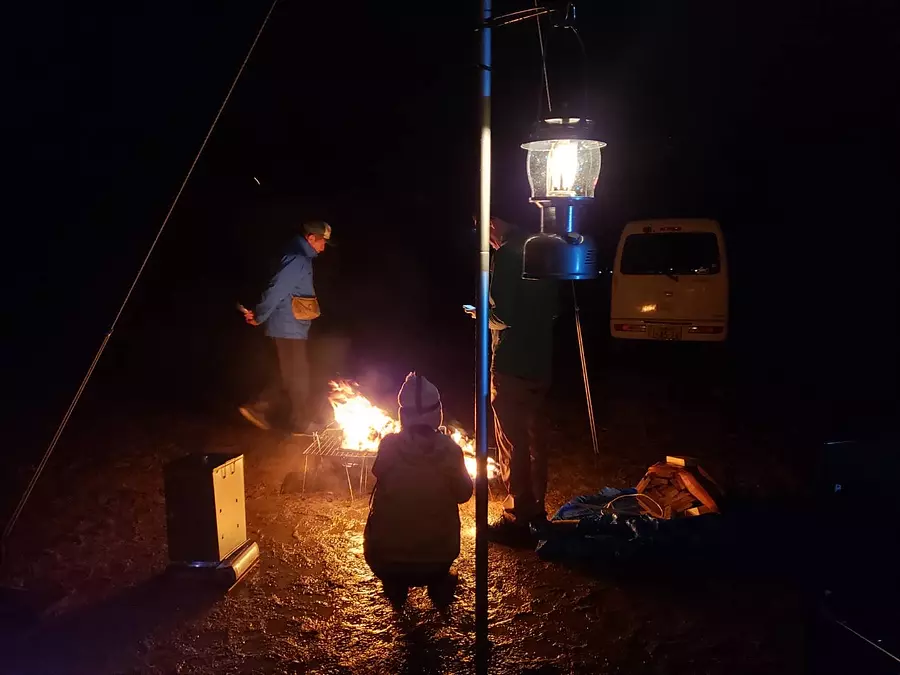
What did you think? If you are interested, please come and participate in the event from KameyamaCity homepage!
https://www.city.kameyama.mie.jp/docs/2020051900010/
| Category | |
|---|---|
| season | |
| area |
Related spots
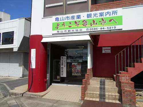
KameyamaCity Industry/Tourist Information Center
Northern forces
KameyamaCity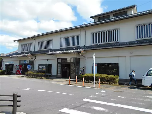
KameyamaCity Tourism Association
Northern forces
KameyamaCityGet information about this town at the KameyamaCity Tourism Association located inside JR Seki Station! It's right next to the ticket gate.
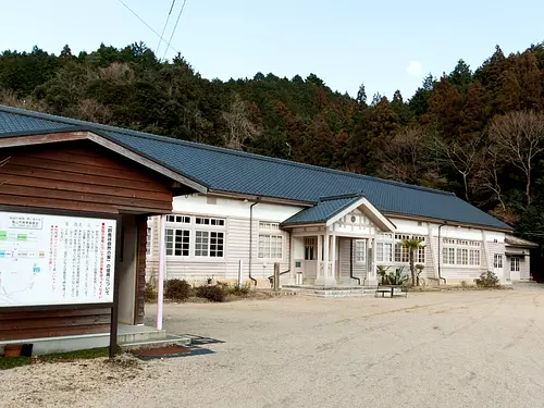
Suzuka Pass Nature House
Northern forces
KameyamaCityThe abandoned Sakashita Elementary School building has been renovated into an outdoor activity facility, where you can stay overnight and train in the midst of rich nature. There is also a pool, playing field, kitchen building, training room, history and folklore museum, etc., and it can be used for camping, training camps, etc.
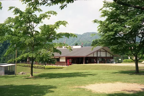
KameyamaCity Sekisuikei Campsite
Northern forces
KameyamaCitySekisuikei, a beautiful valley located in Suzuka Quasi-National Park, is crowded with groups and families camping every April during the annual opening of the mountain season. The training facility provides accommodation for groups, and the bungalow provides accommodation for groups and families, making it an ideal base for hiking and camping.

