A must-see for anyone who wants to enjoy a different kind of mountain climbing! Introducing the scenic route around Mt. Shakagatake
In the northern part of Mie Prefecture, on the border with Shiga Prefecture, there is a mountain range that Mie Prefecture is proud of, called the Suzuka Mountains. Shakagatake, which we will introduce this time, is located almost in the center of this long north-south mountain range, and is an attractive mountain with a great view from the top. When you hear the word ``climbing'', you tend to think that it's just about aiming for the top, but today we'll be introducing a slightly different way of walking in the mountains that goes beyond just aiming for the top.
Article production / Mie Travel Ambassador TAKA
- [Things to keep in mind when climbing]
- Climbing involves dealing with nature, so there is a good chance that uncertainties and unexpected situations will occur. Be prepared, plan well, and have fun.
① When climbing, give yourself plenty of time and choose a mountain that suits your experience and physical strength.
② Make a climbing plan in advance and submit a climbing report to the nearest police station or mountain climbing post by the day of the hike. Don't forget your map and compass on the day.
③ There is a possibility of encountering dangerous wild animals such as bears and hornets. Bring along equipment to deal with them, such as a bear bell.
④ Check the weather information beforehand. The climate in the mountains is subject to rapid changes. Be sure to prepare clothing that can handle sudden changes in temperature, including rain gear.
⑤ Bring water and portable food, take precautions against heat stroke, and take adequate breaks.
⑥ When climbing the mountain in winter, be sure to bring snowy mountain climbing equipment such as crampons. Even if there is no snow at the foot of the mountain, there may still be snow and ice near the top of the mountain.
~table of contents~
About Shakagatake
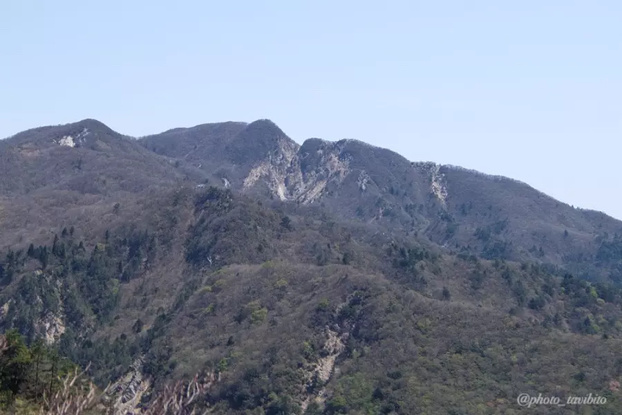
Mt. Shakagatake is located almost in the center of the Suzuka Mountains and has an altitude of 1092m.
The origin of this mountain's name is said to be because its appearance "resembles the sleeping posture of Buddha."
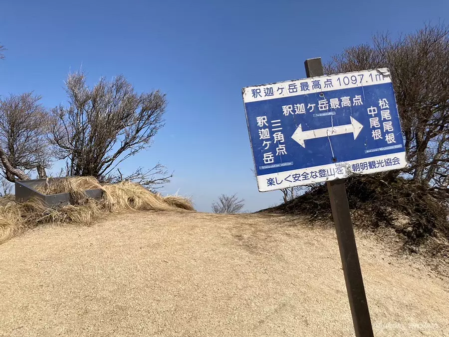
Also, did you know that Mt. Shakagatake has two peaks?
To be more precise, the ``highest point'' and the ``triangulation point'' are separated, so climbers who climb this mountain feel as if there are two summits.
The difference in elevation between the two is about 5m.
Although the highest point is higher, when the altitude of Mt. Shakagatake is displayed in handbooks etc., it is written as the altitude of the trig point (1092m).
- "one point"
- Trig points are erected at locations that serve as standards for mountain elevation.
Introducing recommended mountain climbing routes to enjoy Mt. Shakagatake three times as much
There are five main routes to Mt. Shakagatake, but this time we will be walking to the top of Mt. Shakagatake by taking the most popular "Naka-one Route."

You can just aim for the peak of Mt. Shakagatake, but today I would like to explain my recommended route, which uses the parking lot as a base and goes around the entire area around Mt. Shakagatake.
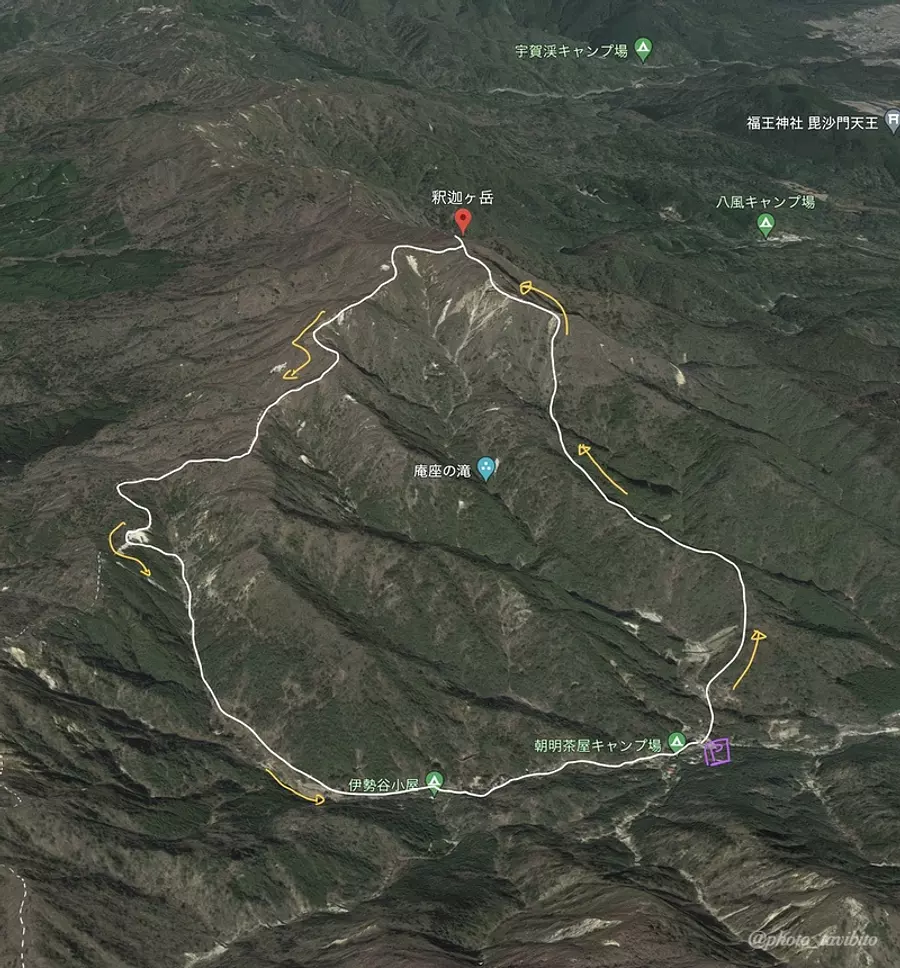
This is our route.
The journey takes the Naka-ridge route to the top, and then returns to the parking lot where you started via the peak called Hatomine, where a mysterious world spreads out.
- ~As a point of caution~
- The route we introduce this time takes a long time to walk (approximately 5 hours), so even beginners will not be unable to walk it, but we recommend that you consider your own physical strength before proceeding.
Explaining this route and introducing four observation spots
From here on, I will explain the circuit route from Mt. Shakagatake to Mt. Hatomine, with lots of photos.
The basic information about the route we will be introducing this time is as follows.
・The parking lot can accommodate about 60 cars (toilet and vending machine available)
・It takes about 2 and a half hours to reach Mt. Shakagatake, and it takes about 1 hour and 40 to 50 minutes to go around from there to Hatomine.
Let's get started!
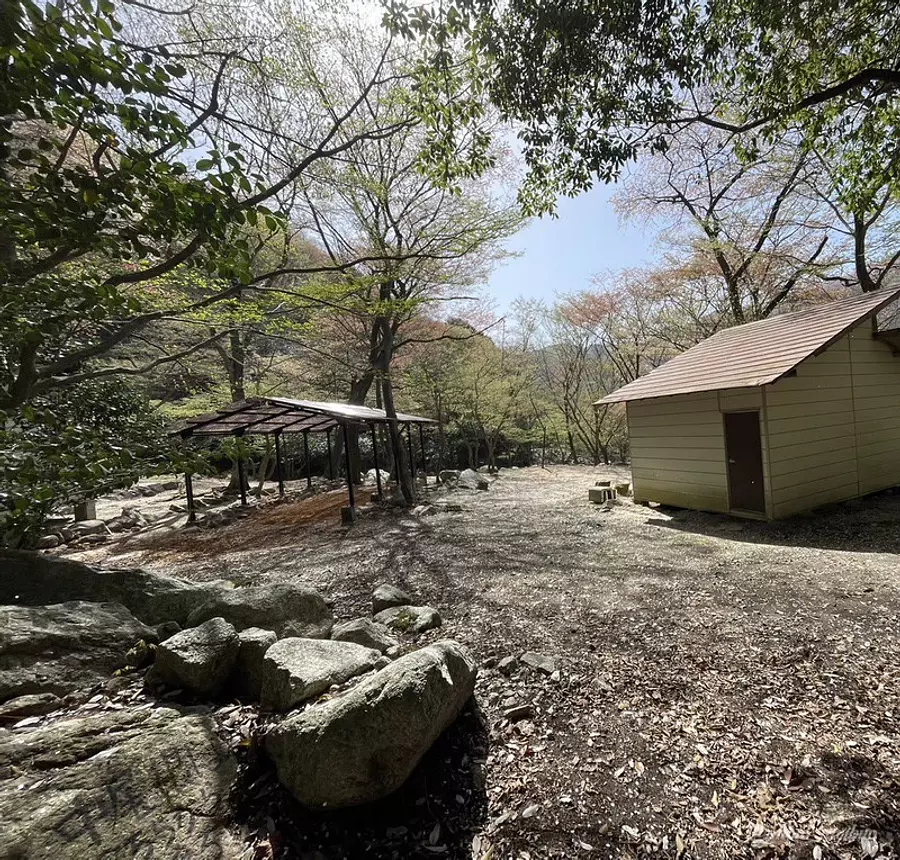
Start climbing
After starting from the parking lot and walking for a while, you will arrive at the plaza.
This is a campsite called ``Komono Camp Club'' where everyone builds it, and although there was no one there that day, I'm sure people who love camping will gather there on the weekends ^ ^
The mountain trail is ahead, so follow the signs.
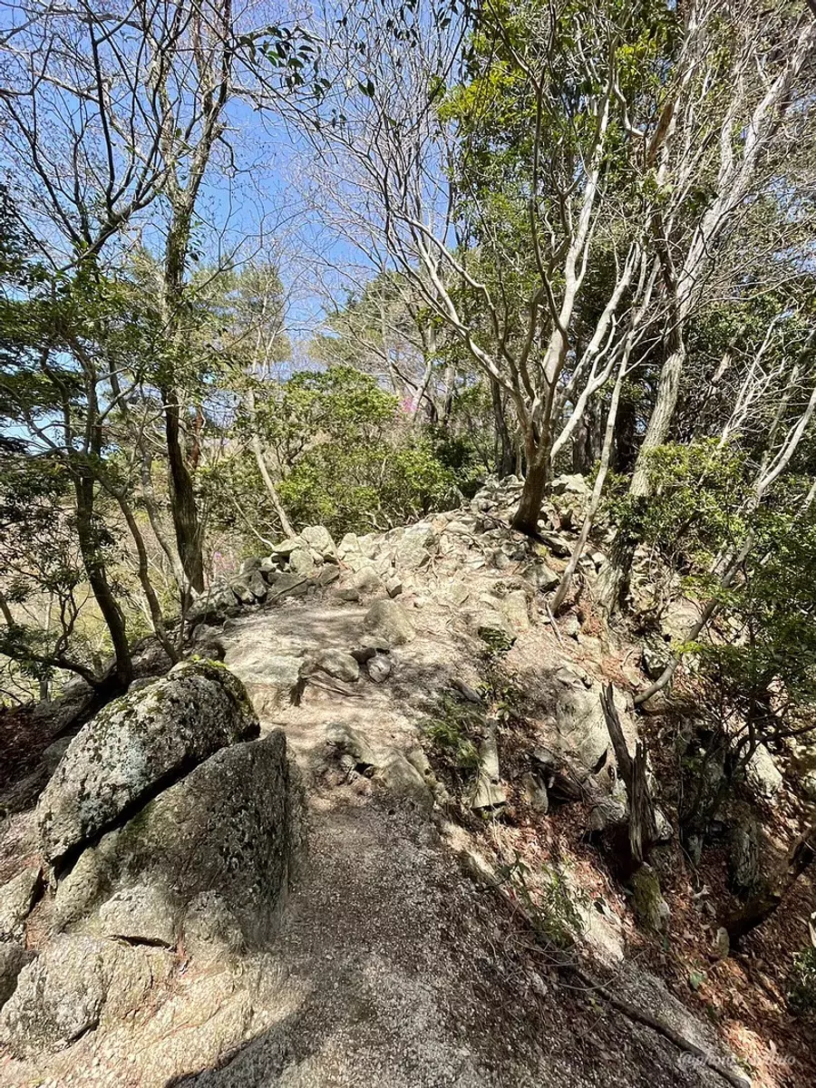
At the beginning of the climb, the trail zigzags through a somewhat steep forest zone.
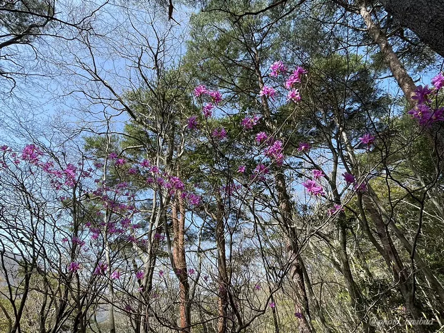
Since I went up there in spring, there were flowers blooming everywhere♪
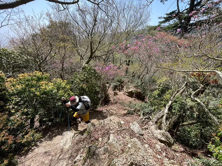
Does climbing the mountain while admiring azaleas and Japanese azaleas make the pain a little less painful? Maybe (lol)
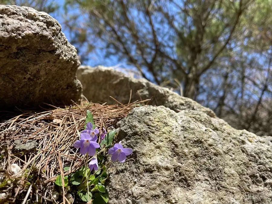
It's encouraging to see the sturdy flowers growing on the rocks.
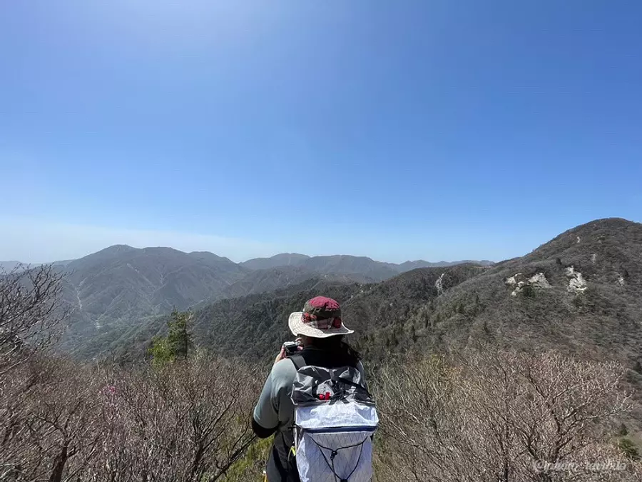
About an hour and a half after leaving.
You'll suddenly see a place with a clear view, and the fatigue you've been feeling will be blown away ^ ^
After climbing quite a bit, the first observation spot is waiting for you.
[View ①] Shakagatake specialty scree
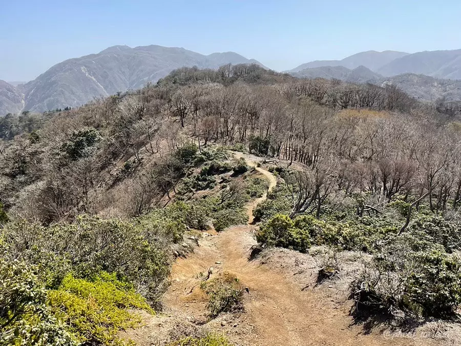
The first observation spot is a thin ridge called ``Ogare,'' which is a famous feature of Mt. Shakagatake and can often be seen in photos.
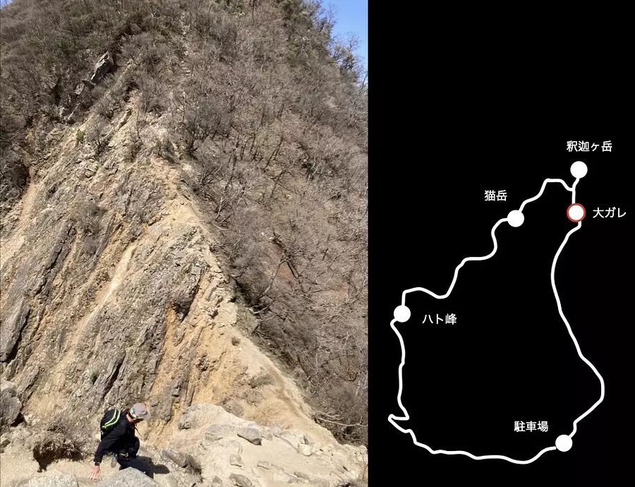
The highlight of this Naka-ridge route is this ``large scree'' that descends down a slippery road and then climbs back up again.
The surrounding area is open and comfortable, but proceed with caution.
[View ②] View from the top
The next observation spot is the top of Mt. Shakagatake.
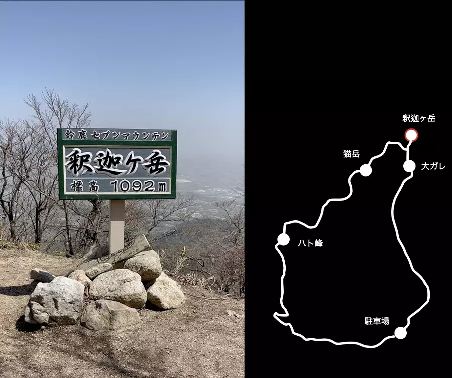
When you walk along the Naka-one route, the first point you will arrive at is a sign for the highest point of Mt. Shakagatake, and after walking for about 5 minutes from there you will arrive at the place where this summit marker is located.
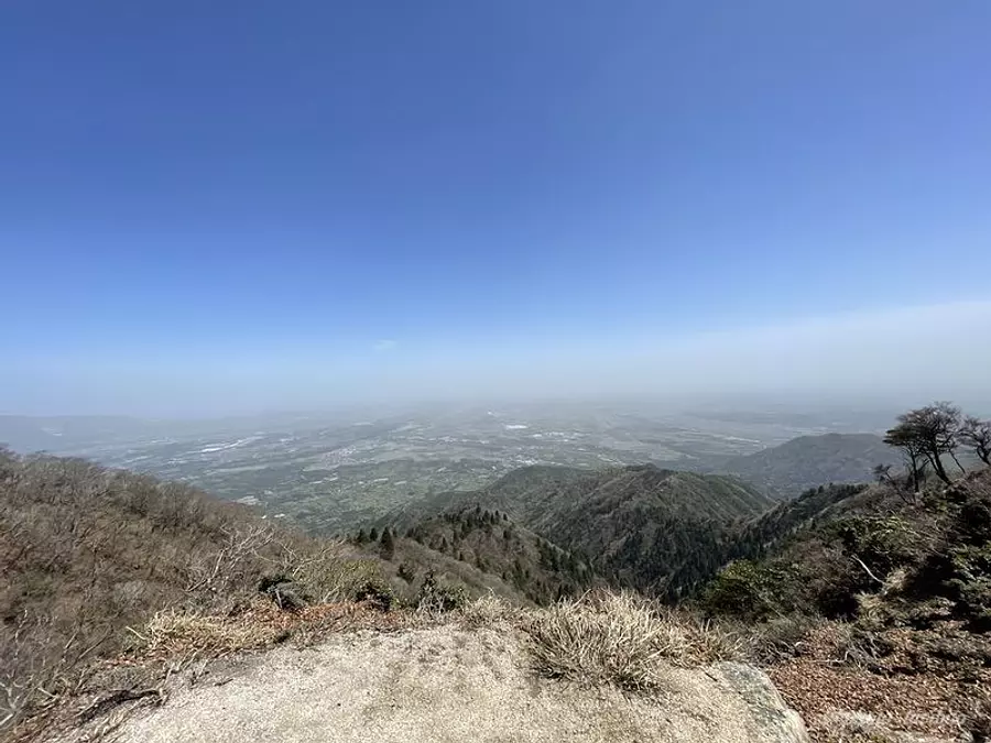
You can see the streets of InabeCity and ToinTown below, and enjoy the scenery that will make you feel like you've reached the top of the mountain!
[View ③] Traverse road along the prefectural border
From Shakagatake, head south along the ridge that borders the prefecture. The scenery and atmosphere while walking on this ridge road are very nice, and it has become my favorite road, so I would like to introduce it here.
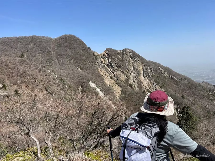
From the ridge path, you can see the ``Ogare'' we walked earlier.
TAKA: It makes me feel elated, like, “I just walked there.” ^ ^

There are places on this road where you can see far into the distance, as shown in the photo, and the feeling of openness is amazing♪
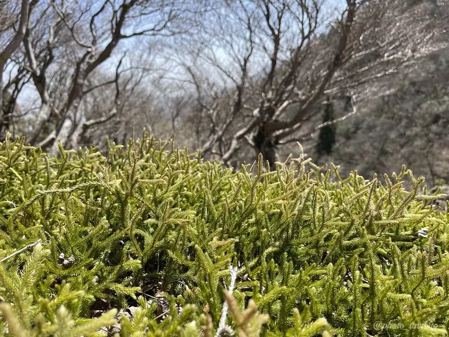

After about an hour and a half along the most pleasant traversing route, you will arrive at the last observation spot.
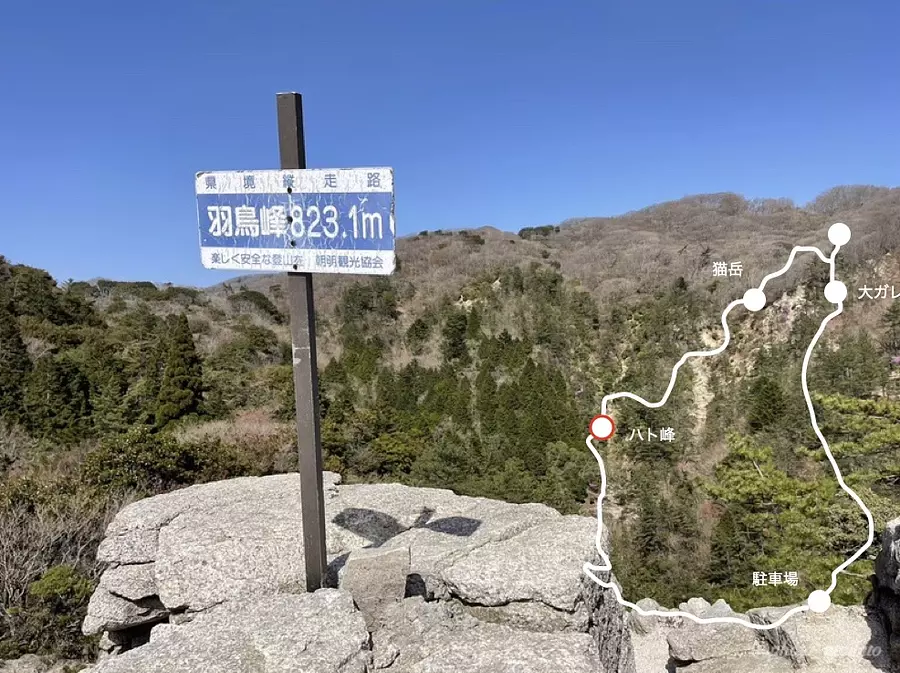
[Outlook ④] The mysterious world of Hatomine
The last viewing spot is Hatomine, which is also the final destination of this loop route.
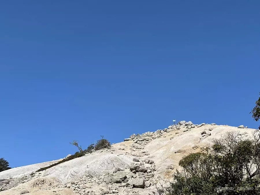
Hatomine is characterized by its granite geology, which makes it look like a white sandbox, and you may be surprised by the atmosphere, which is the complete opposite of the previous roads, which were mostly brown and green (lol).
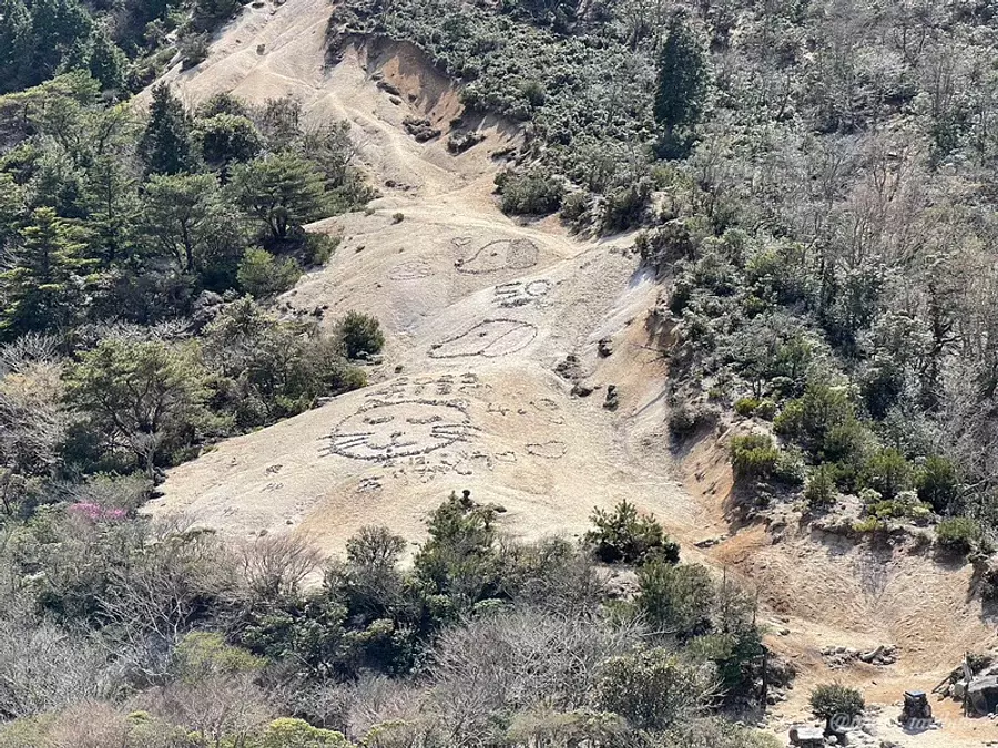
This geoglyph is also one of the characteristics of Hatomine.
I don't know who made this, but the pictures change depending on the time of year you visit, so I'm sure there are some climbers who only climb Hato Peak to observe this geoglyph ^ ^
From here, walk back to the parking lot for about 40 minutes to complete the loop route.
Thank you for your hard work,TAKA!
Regarding precautions
Here are three things to keep in mind when climbing this mountain.
《1. The loop route takes a long time to walk》
I mentioned several times in the text that this route is long. So, can people who are not used to walking not be able to walk? It does not mean that.
If you are not used to walking, we recommend walking in parts.
for example...
・Aim from the parking lot to the top of Mt. Shakagatake → Return the way you came
・Aim from the parking lot to Hatomine → Return the way you came
I think this way it will be relatively easier to walk than walking a long loop route ^ ^
Also, there are few shady places, so be sure to take precautions against the heat when the sun is strong, such as in the summer.
《2. The mountain trail is sandy and slippery.
There are parts of the Naka-ridge route that have a lot of gravel, and areas such as Hatomine can be slippery, so be careful when walking.
《3. From the rainy season to autumn, leeches appear.
Except for some mountains, leeches appear in the Suzuka Mountains from the rainy season to the cool season of autumn (sweat).
Take precautions by wearing clothing that does not expose your skin and using leech repellent spray.
Access to parking lot
Access to the Asaaki parking lot.
The parking lot fee is 500 yen, and there are also toilets and vending machines here.
Regarding precautions
Aquaignis, a comprehensive resort for healing and food, is located in KomonoTown at the foot of the Suzuka Mountains.
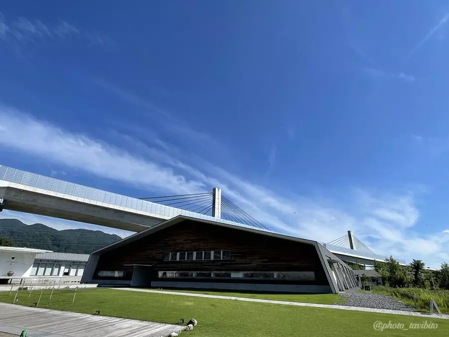
You can stay overnight or eat some delicious food.
However, I would like to recommend this hot spring.
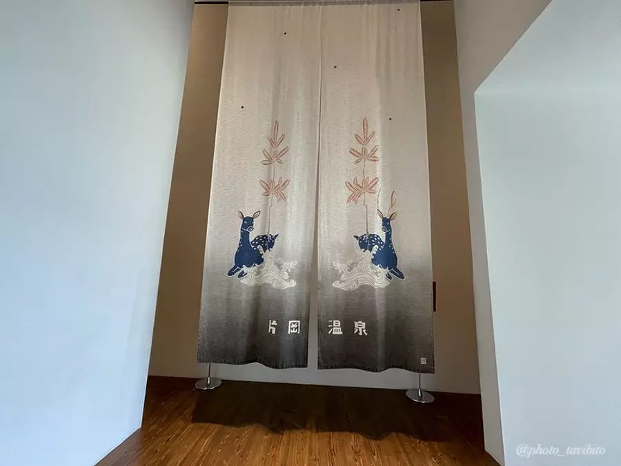
This natural hot spring is fed directly from the source, and the water is soft and slimy, leaving your skin feeling smooth and smooth, making it the perfect way to refresh yourself after climbing!
Click here for an article that explains Aquaignis in detail!
in conclusion
Although it was a little long, I introduced the route around Mt. Shakagatake.
Mountain walking, which is called traversing, like the one I introduced this time, allows you to see the faces of various mountains, rather than just aiming for the top of one mountain, so I thought, ``I want to know more about mountains!'' I would like to recommend it to those who are interested ^ ^
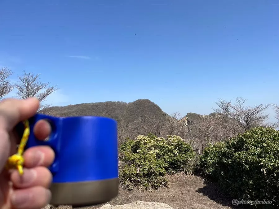
Let's enjoy walking in the mountains within reason♪
This time, we created a video that condenses the charm of Mt. Shakagatake! Please also take a look ♪
Nearby spots
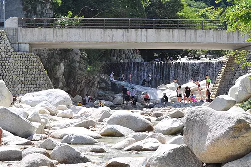
直線距離:72m
Asaaki Campsite
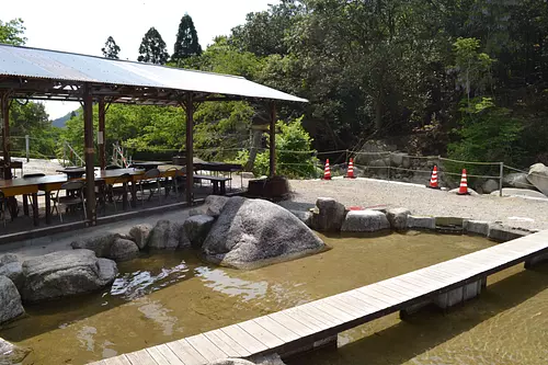
直線距離:74m
Asaaki Lodge
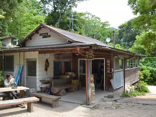
直線距離:109m
AsakeChayaCampsite

直線距離:172m
Asaaki Hutte

直線距離:598m
Nishizanso
直線距離:608m
AsakeValley
直線距離:662m
Asaaki sabo learning zone

直線距離:742m
Chomeikei Fish Garden
直線距離:991m
Nekotani First Weir and Nekotani Second Weir
直線距離:2.4km
Shakagatake

直線距離:2.5km
Kunimidake

直線距離:2.6km
Hyuga hut
nearby events
.png)
Date: November 30th (Sat) / December 1st (Sun) 9:30am~ *Rain...
直線距離:5.0km
Introduction to the outdoors! Survival camping work!

Date: Saturday, November 23, 2024 - Saturday, November 23, 2024...
直線距離:5.2km
ONSEN・Gastronomy Walking in Yunoyama Onsen

Date: November 1, 2024 - December 25, 2024
直線距離:5.3km
[Aquaignis] Now accepting reservations for Confiture Ash Christmas Cake 2024!

Date: Saturday, November 30, 2024 - Saturday, November 30, 2024
直線距離:5.6km
Fastest worship competition at Fukuo Shrine

Date: Saturday, November 30, 2024 - Sunday, January 26, 2025...
直線距離:5.8km
Haruhisa Ogawa and Asukaen: A 100-Year Journey

Date: Friday, October 4, 2024 - Sunday, November 24, 2024...
直線距離:5.8km
One Hundred Views of Kyoto: Kyoto's Four Seasons Depicted
Event date: Mid-November to late November
直線距離:6.6km
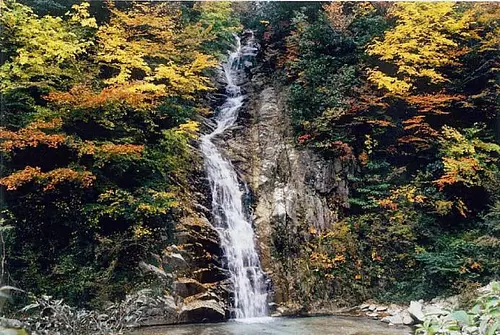
Autumn leaves of Ugakei

Date: Saturday, December 2, 2023 - February 25, 2024...
直線距離:6.8km
Winter illumination Komono
Dates: May 12th and November 12th every year
直線距離:9.0km
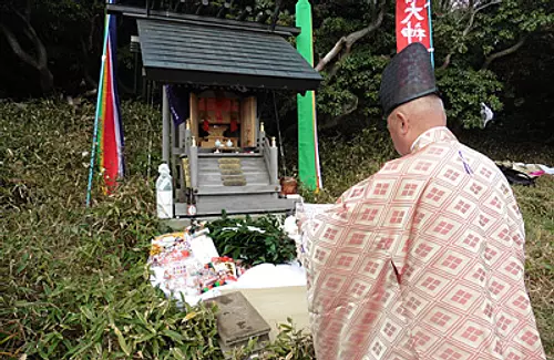
Nyudogakoku Okumiya Grand Festival
Date: Wednesday, January 1, 2025
直線距離:9.0km
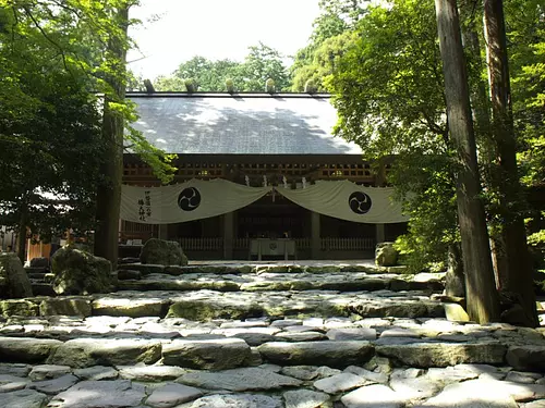
[New Year's Visit] TsubakiGrandShrine Saidan Festival

Date: Sunday, December 8, 2024, from 2 p.m.
直線距離:13.7km
The 36th Toin "Japanese Symphony No. 9" Concert
Date: Saturday, November 23, 2024 to Sunday, November 24, 2024
直線距離:13.7km
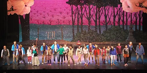
The 12th musical from ToinTown
Plays and experiences nearby
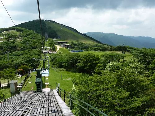
直線距離:3.0km
Gozaisho Mountain Sightseeing Lift
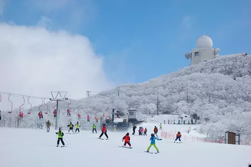
直線距離:3.1km
Gozaisho Ski Resort
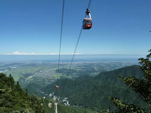
直線距離:3.2km
GozaishoRopeway
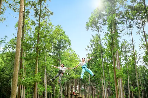
直線距離:5.0km
Forest Adventure Yunoyama “Zip Trip Course”

直線距離:5.0km
Kamoshika Buggy

直線距離:5.0km
Forest Adventure Yunoyama “Adventure Course”

直線距離:5.1km
Mariage de Farine Online Shop

直線距離:5.3km
Confiture Ash Online Shop

直線距離:5.3km
Il Cecciano Miele Online Shop

直線距離:5.3km
Experience the mineral mist bath “LeFuro” at Aquaignis Kataoka Onsen!
直線距離:5.3km
Aquaignis Hatake's [held every Saturday and Sunday] Harvesting experience (herb/vegetables)

直線距離:5.3km
Aquaignis “TSUJIGUCHI FARM” now accepting reservations for strawberry picking!


