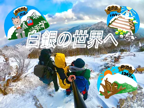
Mt. Fujiwaradake
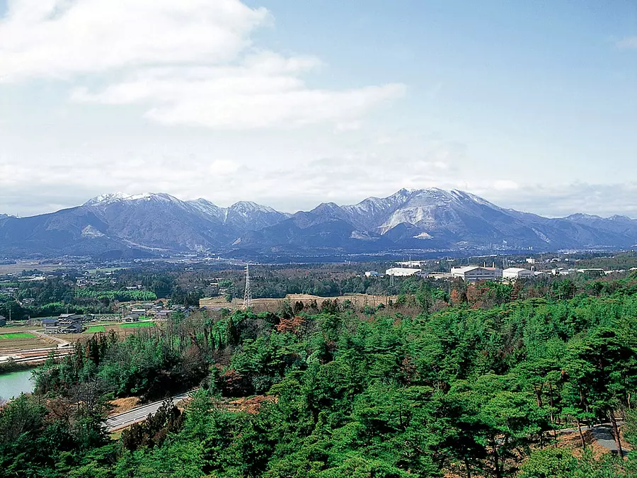
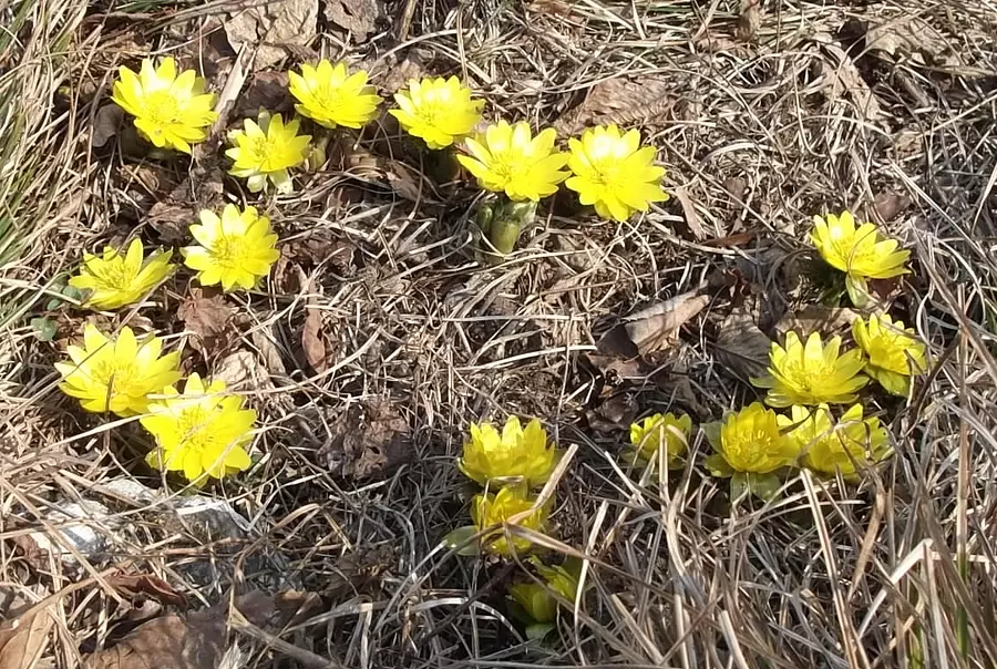
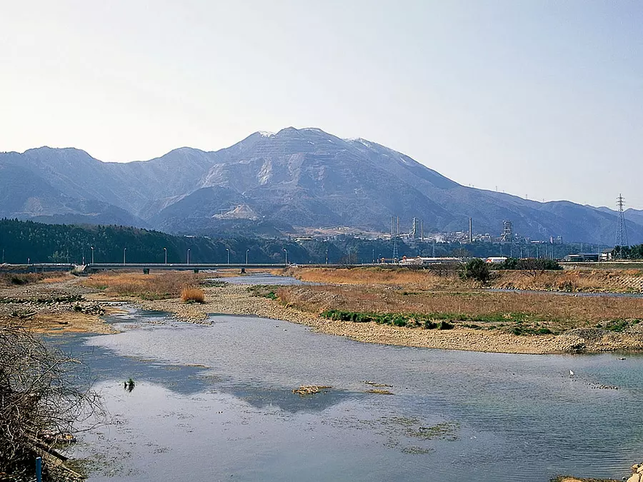
It is a mountain at the northern end of the Suzuka Mountains and is known as one of the 100 Famous Mountains for Flowers, where you can enjoy flowers throughout the year. Over 50,000 climbers visit each year. There is a mountain hut (unmanned) at the 9th station, which is perfect for eating and taking a break.
Botanically, it is the point of contact between the Ura-Nihon plant system and the Omote-Nihon plant system, and plants from both coexist. Geologically, it is a karst topography dotted with dolines typical of limestone areas. Plants from igneous rock areas can also be seen.
<Distance from the trailhead to the summit>
・4.0km from Okaido route
・4.0km from Shohoji route
If you need a mountain climbing map, please come to the `` InabeCity Agriculture, Forestry, Commerce and Industry Department, Commerce, Industry and Tourism Division''.
If you have time before climbing and live far away, you can also have a climbing map mailed to you, so please contact InabeCity, Agriculture, Forestry, and Commerce Department, Commerce, Industry and Tourism Division.
[InabeCity Agriculture, Forestry, Commerce and Industry Department, Commerce and Tourism Division]
〒511-0498
31 Ageki, ageki-cho, Inabe InabeCity, Mie Prefecture
Phone: 0594-86-7833
Click here for climbing information and routes Mt. Fujiwara (Yamareco)
*Please check the latest information as there is a risk of the mountain trail collapsing.
Click here for parking google map
You can view and edit the sightseeing route (My Plan on My Page) that will take you around the selected spots.
現在選択中のスポット数:...件
Detailed information
550m from Nishi-Fujiwara Station on the Sangi Railway Sangi Line to the trailhead (approx. 5 minutes walk)
[Access to the trailhead]
11.1km (approx. 20 minutes) from Tokai Kanjo Expressway "Daian IC"
21.4km (about 40 minutes) from Higashi-Meihan Expressway “Kuwana IC”
24.3km (about 35 minutes) from Meishin Expressway “Sekigahara IC”
[Ogaido trailhead parking lot]
Number of parking spaces: Approximately 40 Parking fees: Free
*Large vehicles cannot be parked.
[Fujiwaradake sightseeing parking lot]
Number of parking spaces: Approximately 30 spaces
Parking fee: Regular car 300 yen Microbus 1,000 yen
*Large vehicles can park there, but we recommend making a reservation.
To make a reservation, please contact InabeCity Commerce, Industry and Tourism Division.
*Prices are subject to change, so please check with your contact information before going out.
Nearby spots
直線距離:2.3km
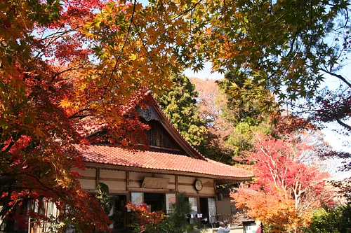
Narutaniyama Shohoji Temple
直線距離:2.5km
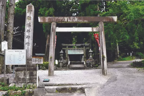
Narutani Shrine
直線距離:2.6km
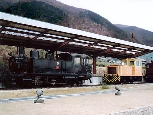
Nishi-Fujiwara Station Park
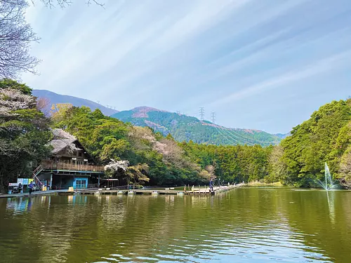
直線距離:3.5km
fishing sanctuary
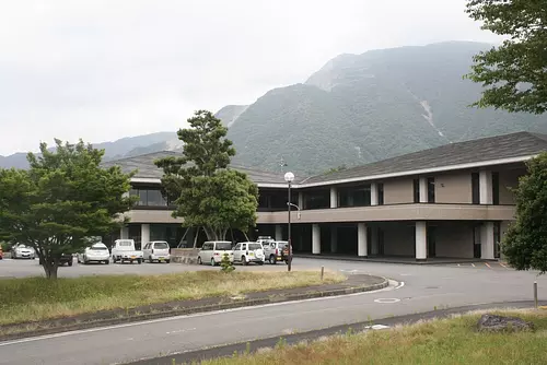
直線距離:3.5km
Fujiwaradake Natural Science Museum
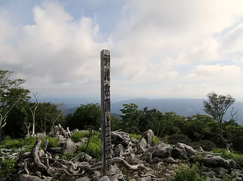
直線距離:4.1km
Mt. Oike
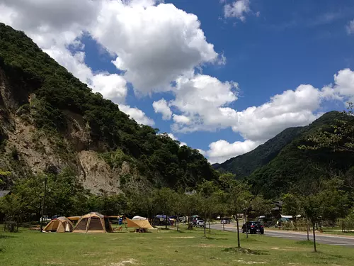
直線距離:4.2km
AogawakyoCampingPark
直線距離:4.7km
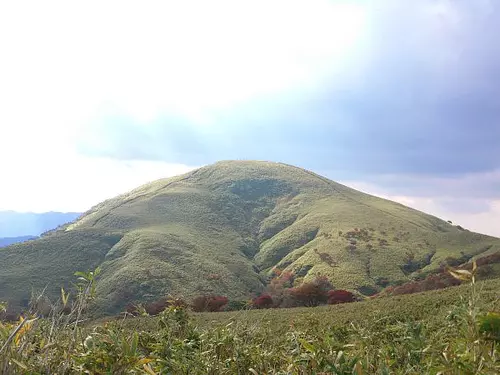
Ryugatake
直線距離:5.4km
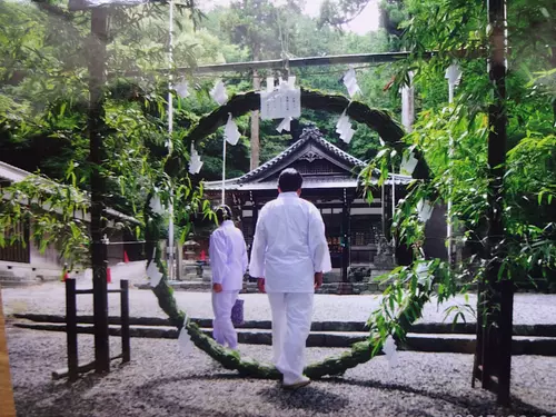
Kage Shrine

直線距離:5.7km
Japanese cuisine Shoeikan

直線距離:5.8km
Inabekko
直線距離:6.0km
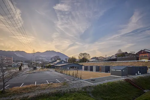
Inabe ageki Base
nearby events
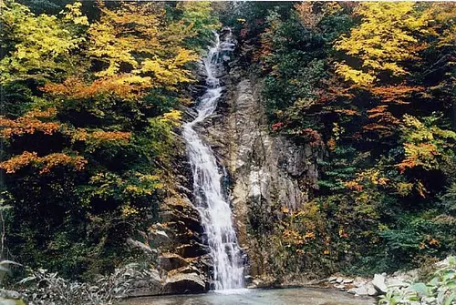
Event date: Mid-November to late November
直線距離:6.6km
Autumn leaves of Ugakei

Date: Saturday, February 1, 2025
直線距離:6.6km
Hokkaido Uta Tabiza The Concert 2024

Date: Sunday, January 26, 2025
直線距離:6.6km
Nagoya Philharmonic Orchestra Masterpiece Selection in Inabe vol.14

Date: Saturday, December 14, 2024
直線距離:6.6km
Hideki Takahashi Lecture: Active for Life! ~Learning from History~

Date: Saturday, November 30, 2024 - Saturday, November 30, 2024
直線距離:8.5km
Fastest worship competition at Fukuo Shrine
Date: Saturday, November 23, 2024 to Sunday, November 24, 2024
直線距離:15.4km
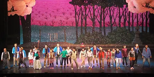
The 12th musical from ToinTown
Date: Sunday, December 8, 2024, from 2 p.m.
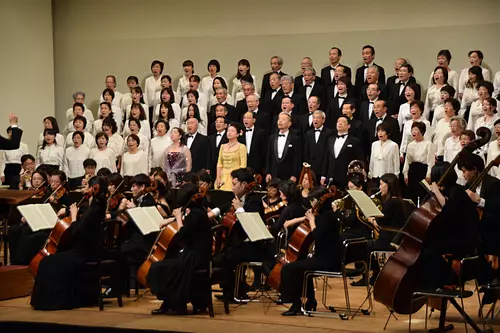
直線距離:15.4km
The 36th Toin "Japanese Symphony No. 9" Concert
![[TadoTaishaShrine] Shichigosan prayer](https://www.kankomie.or.jp/rails/active_storage/representations/proxy/eyJfcmFpbHMiOnsibWVzc2FnZSI6IkJBaHBBbHd2IiwiZXhwIjpudWxsLCJwdXIiOiJibG9iX2lkIn19--6a2ed4027926dd4e92c236d0167e776d19b4806a/eyJfcmFpbHMiOnsibWVzc2FnZSI6IkJBaDdCem9MWm05eWJXRjBPZ2wzWldKd09oSnlaWE5wZW1WZmRHOWZabWwwV3dkcEF2UUJNQT09IiwiZXhwIjpudWxsLCJwdXIiOiJ2YXJpYXRpb24ifX0=--8d6bc4b517fae43c9e30c66a38f93836dd92b535/18434_1_org.jpg)
Date: September 1, 2024 - November 30, 2024
直線距離:15.7km
[TadoTaishaShrine] Shichigosan prayer
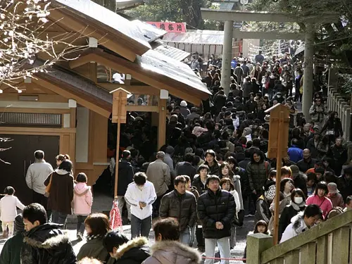
Event date: December 31, 2024 - January 7, 2025
直線距離:15.7km
[TadoTaishaShrine] New Year's visit

Date: Saturday, December 2, 2023 - February 25, 2024...
直線距離:16.2km
Winter illumination Komono

Date: November 1, 2024 - December 25, 2024
直線距離:16.4km
[Aquaignis] Now accepting reservations for Confiture Ash Christmas Cake 2024!

Date: Saturday, November 23, 2024 - Saturday, November 23, 2024...
直線距離:16.5km
ONSEN・Gastronomy Walking in Yunoyama Onsen
Plays and experiences nearby

直線距離:6.1km
Rental bicycle “Ina CHARI”
直線距離:6.2km
Handicrafts in daily life - From making dashi stock to making summer noodle soup -

直線距離:6.4km
Make a plant-based focaccia pizza in a skillet & experience nature

直線距離:6.4km
Making homemade pizza in a skillet and playing in the river

直線距離:7.9km
Plum picking experience
直線距離:15.7km
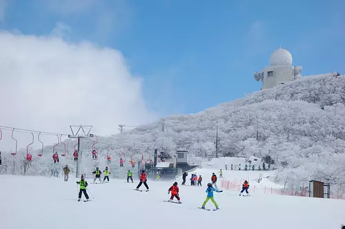
Gozaisho Ski Resort
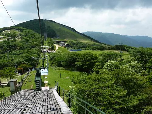
直線距離:15.7km
Gozaisho Mountain Sightseeing Lift
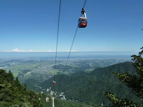
直線距離:15.8km
GozaishoRopeway

直線距離:16.4km
Experience the mineral mist bath “LeFuro” at Aquaignis Kataoka Onsen!

直線距離:16.4km
Confiture Ash Online Shop

直線距離:16.4km
Il Cecciano Miele Online Shop

直線距離:16.5km
Mariage de Farine Online Shop

