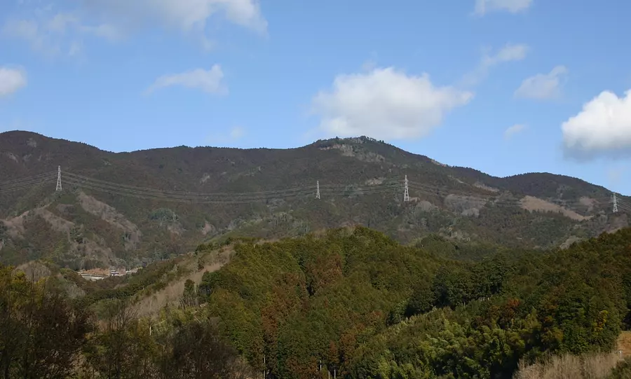
Shiraisan Shiraisan
It takes about 70 minutes. Mt. White Boar with an altitude of 819m.
In the past, along with Mt. Horizaka and Mt. Chogatake, it was called the ``Miss of Ise'' by sailors who traveled through Ise Bay and was used as a landmark for navigation.
The Natsumei climbing course has rest huts and drinking fountains along the way, and the ``Sekison Daigongen'' is enshrined near the summit.
For mountain climbing courses, please refer here↓↓
Matsusaka Kahada Chamber of Commerce Outdoor Map
For Matsusaka tourist information, visit the Matsusaka sightseeing information site Wakuwaku Matsusaka.
You can view and edit the sightseeing route (My Plan on My Page) that will take you around the selected spots.
現在選択中のスポット数:...件
Detailed information
Approximately 30 minutes from the Ise Expressway Matsusaka IC to the trailhead on National Route R166.
約10台
*Prices are subject to change, so please check with your contact information before going out.
Nearby spots
直線距離:1.8km
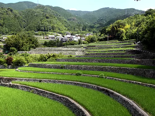
Japan's Top 100 Terraced Rice Fields "Dandan Rice Fields in Fukano"
直線距離:2.8km
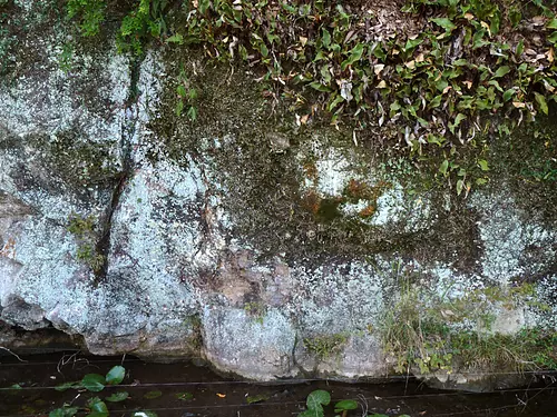
[Flowers] Oishi Fudoin centipede orchid community [Nationally designated natural monument]

直線距離:3.0km
Raikoji Temple
直線距離:3.1km
MatsusakaCity Iinan Washi Wagyu Center
直線距離:3.2km
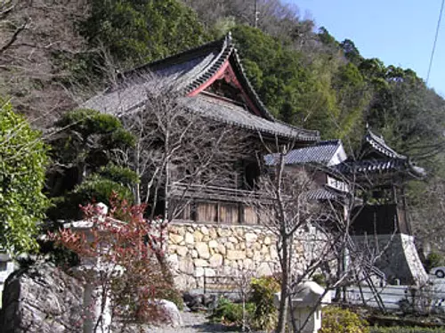
Oishi Fudoin

直線距離:3.6km
Ryosenji Temple
直線距離:3.7km
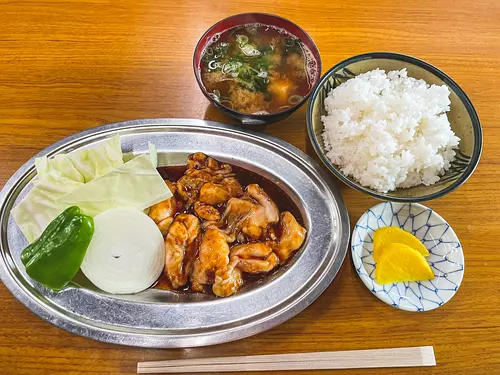
Yakiniku Ichiban
直線距離:3.8km
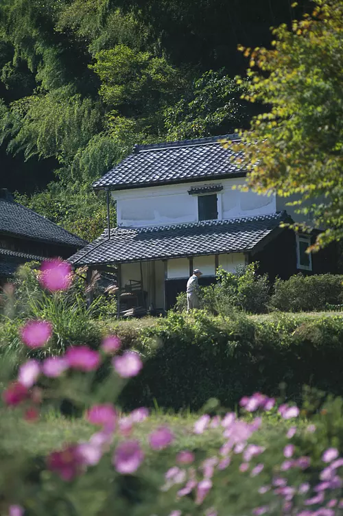
[Closed on March 31, 2023] Ukisatomura

直線距離:3.9km
MatsusakaCity Iinami Sports Center
直線距離:4.0km
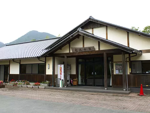
Nakayama Herb and Medicinal Tree Park/Motojo no Yakata

直線距離:4.1km
Ran Shrine
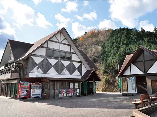
直線距離:5.1km
Michi-no-eki “Chakura Station”
nearby events
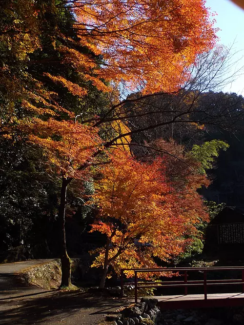
Event date: Mid-November to late November
直線距離:5.9km
[Autumn foliage] Autumn foliage at Ise Mt. Iifukuda Temple
![[Flowers] Porridge sasanqua](https://www.kankomie.or.jp/rails/active_storage/representations/proxy/eyJfcmFpbHMiOnsibWVzc2FnZSI6IkJBaHBBbzB0IiwiZXhwIjpudWxsLCJwdXIiOiJibG9iX2lkIn19--b490e81530ac81ef6d3d388e383ebf707e8b930f/eyJfcmFpbHMiOnsibWVzc2FnZSI6IkJBaDdCem9MWm05eWJXRjBPZ2wzWldKd09oSnlaWE5wZW1WZmRHOWZabWwwV3dkcEF2UUJNQT09IiwiZXhwIjpudWxsLCJwdXIiOiJ2YXJpYXRpb24ifX0=--8d6bc4b517fae43c9e30c66a38f93836dd92b535/7954_1_org.jpg)
Date: Late November to early December every year
直線距離:8.3km
[Flowers] Porridge sasanqua

Date: Saturday, December 7, 2024 to Monday, February 24, 2025
直線距離:9.7km
[Starts 12/7!] Starlight Dungeon

Date: Friday, December 13, 2024 11:00-11:30
直線距離:9.7km
Christmas CD Concert for 0-Year-Olds

Date: Sunday, December 15, 2024
直線距離:9.7km
Lots of Santas!! Which Santa will you play with?! At the Christmas Market
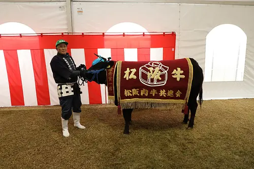
Date: Sunday, November 24, 2024
直線距離:10.7km
Matsusaka Beef Festival (73rd Matsusaka Beef Exhibition)

Date: Saturday, January 18, 2025
直線距離:11.0km
Kanko Dance (koazakacho) [Prefectural designated cultural property]

Date: Saturday, January 18, 2025
直線距離:11.0km
Fire and porridge testing rituals

Date: Friday, September 6, 2024 - December 0...
直線距離:11.0km
Restaurant Iitaka Autumn Special Menu

Date: Friday, November 15, 2024 - February 28, 2025...
直線距離:11.0km
Restaurant Iitaka Winter limited “Botanabe”

Date: Friday, November 15, 2024 - February 13, 2025...
直線距離:11.0km
Restaurant Iitaka's Lotus Dam Curry - Winter Version
![[Exhibition] Mitsuko Tanaka Handmade Doll Exhibition](https://www.kankomie.or.jp/rails/active_storage/representations/proxy/eyJfcmFpbHMiOnsibWVzc2FnZSI6IkJBaHBBN0VBQlE9PSIsImV4cCI6bnVsbCwicHVyIjoiYmxvYl9pZCJ9fQ==--4bc0014004a559a273d8d0a7d8846e0edcea08d3/eyJfcmFpbHMiOnsibWVzc2FnZSI6IkJBaDdCem9MWm05eWJXRjBPZ2wzWldKd09oSnlaWE5wZW1WZmRHOWZabWwwV3dkcEF2UUJNQT09IiwiZXhwIjpudWxsLCJwdXIiOiJ2YXJpYXRpb24ifX0=--8d6bc4b517fae43c9e30c66a38f93836dd92b535/241031tanaka-1.jpg)
Date: Thursday, October 31, 2024 - November 2, 2024...
直線距離:11.0km
[Exhibition] Mitsuko Tanaka Handmade Doll Exhibition
Plays and experiences nearby
直線距離:5.2km
Lunch and tea picking experience at Michi-no-eki "Chakura Station"

直線距離:9.7km
Animal Coro Coro Park

直線距離:9.7km
Kids spy operation! !
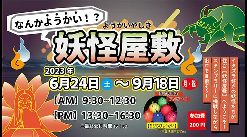
直線距離:9.7km
What's going on! ? Yokai mansion
直線距離:10.9km
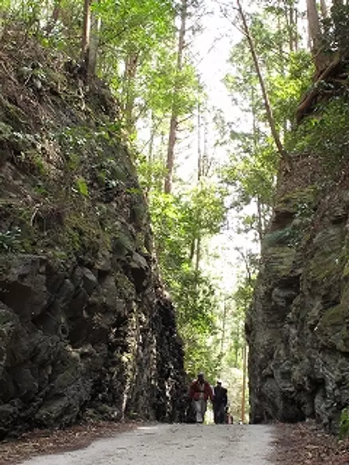
Historical road Mezurashi-togePass walking
直線距離:10.9km
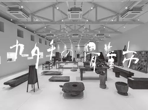
KATACHI museum “Katachi Antique Market”

直線距離:10.9km
Ryo Vison Summer Cool Menu

直線距離:10.9km
Nachio Nakanishi “Collecting White” Exhibition Commemorative Talk Event
直線距離:10.9km
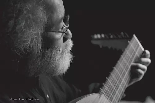
Takashi Tsunodata Lute Concert “Quiet Music”
直線距離:10.9km
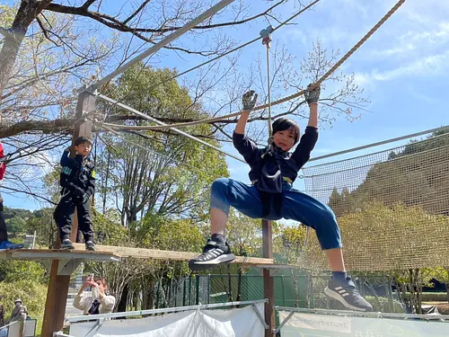
First appearance in Mie Prefecture! Forest Adventure Mobile Course is coming to “VISON”! !
直線距離:10.9km
VISON Autumn Harvest Festival

直線距離:10.9km
[Recruiting participants] VISON Pintxos Contest

